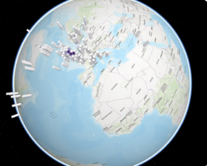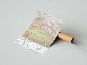
GIS visualization of archaeological sites in the upper Tigris and Euphrates River basins
The project produced GIS-based maps and diagrams to visualize archaeological sites and material culture, highlighting the regional shift from hunting-gathering to farming. It integrates environmental and archaeological data to show patterns of human–environment interaction across multiple case study areas and their chronological development.