Extended Rephotography
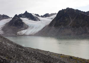
We develop interactive spatio-temporal views of arctic areas affected by climate change, where the researchers can register their data and compare the material to trace the changes of the landscape over time.
Describing in-depth support projects
We develop interactive spatio-temporal views of arctic areas affected by climate change, where the researchers can register their data and compare the material to trace the changes of the landscape over time.
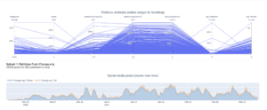
Researchers in political science make use of an information visualization dashboard to understand how the contents of social media posts addressing published e-petitions relate to the theoretical model of mobilisation strategies.
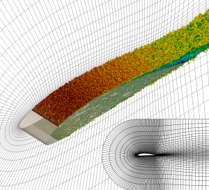
The researchers visualize the behavior of wind around airplane wings while the simulation is running on a supercomputer. A deeper insight into wind behavior will aid engineers in designing more efficient aircraft.
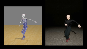
InfraVis helps bring the data to life with Motion Capture animations and realistic 3D models of patients to help communicate medical information in a more personalized way.