Extended Rephotography
InfraVis User
Tyrone Martinsson
InfraVis Application Expert
Jonathan Westin
InfraVis Node Coordinator
Jonathan Westin
About
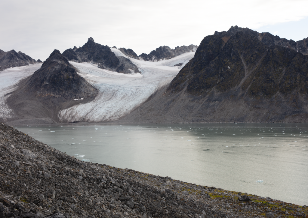
We develop interactive spatiotemporal views of arctic areas affected by climate change, where the researchers can register their data and compare the material to trace the changes in the landscape over time.
The visualization will allow researchers and the public alike to follow the human presence through documentation of the Magdalene-fjord (Svalbard) over 400 years, while also seeing the effects of climate change on this environment.