InfraVis at the 37th MAX IV User Meeting
InfraVis presented two posters at the 37th MAX IV User Meeting in January 2026.
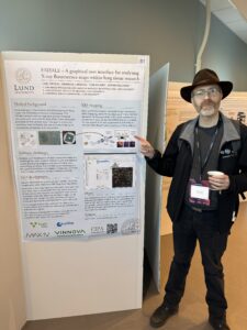
InfraVis presented two posters at the 37th MAX IV User Meeting in January 2026.
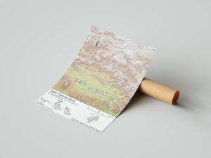
QuarryGIS is an interactive environmental visualization and benchmarking tool built to make quarry and construction sector impacts tangible for producers, clients, and planners.
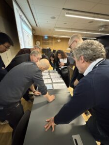
Two InfraVis nodes were represented at this year’s COMPUTE meeting at Lund University, an event aimed at all COMPUTE members and COMPUTE associates. The theme of the event was Computational work in the public sector and industry.
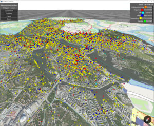
This project focused on crowd sourced urban data collected from Tyck Till an app developed by Stockholms Stad where users can leave feedback and report errors in the city. The data contains approximately 800 000 georeferenced reports in various categories. The goal of this project was to facilitate interactive exploration of this data through filtering and navigation.
InfraVis, together with NAISS UPPMAX, HPC2N, and LUNARC is providing an introduction to Python and Using Python in an HPC environment. Dates: 27-28 November & 1-2 December 2025.
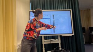
Emanuel Larsson, InfraVis node coordinator at Lund University, delivered a presentation at the Lund University Science Days on 19–20 November.
Linnéa Tjernström from the InfraVis node at Umeå University presented InfraVis at the HumInfra Concerence in Stockholm.
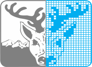
The project produced GIS-based maps and diagrams to visualize archaeological sites and material culture, highlighting the regional shift from hunting-gathering to farming. It integrates environmental and archaeological data to show patterns of human–environment interaction across multiple case study areas and their chronological development.
Welcome to this workshop in NodeGoat offered by InfraVis and Humlab 2 December 2025. NodeGoat is a web-based instrument designed for visualizing data from the social sciences and humanities across space and time. It enables users to map, connect, and analyze data, as well as to share research results in an interactive way.
GIS workshop at Uppsala University 6 November held by InfraVis application expert Vasiliki Tsoumari.