Highlights
-
InfraVis quarterly newsletter
The InfraVis newsletter comes out four times per year. This is the June 2026 edition.
-
New Interreg funding for data-driven research and innovation
We are delighted to share that DataCatalyst Öresund has been approved through Interreg Öresund-Kattegat-Skagerrak. The project brings together Lund University, DTU – Technical University of Denmark and Medicon Valley Alliance Microbiome Network to strengthen data-driven research and innovation across the Öresund region over the next three years.
-
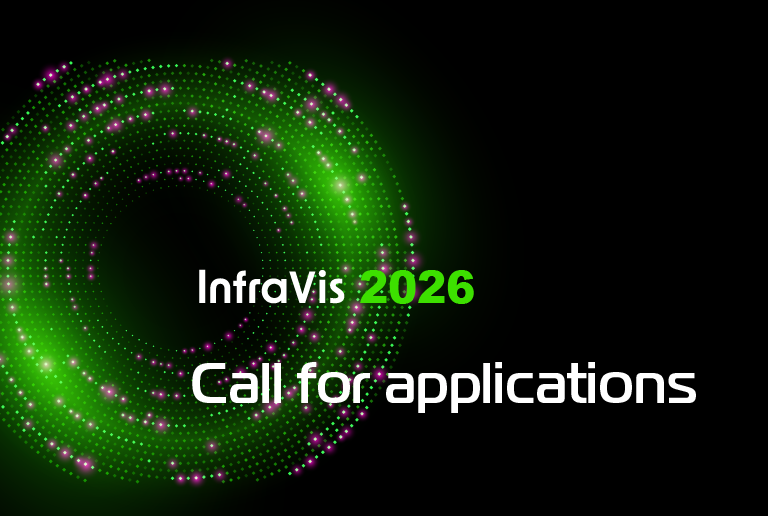
InfraVis call 2026
InfraVis Call For Visualization Support is open throughout October 2026. Welcome with your application!
-
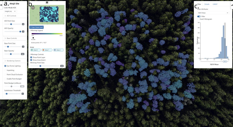
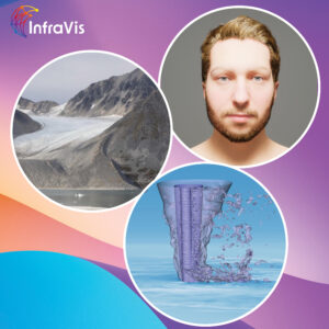
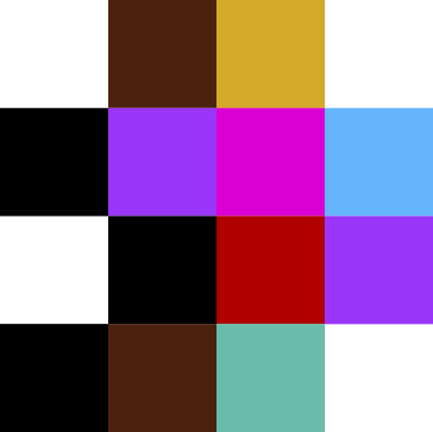
ForestVis: Visualizing Individual Tree Characteristics in Forest 3D Point Clouds Using Remote Sensing Data
ForestVis is a web-based 3D visualization system for the interactive visual exploration of forest data.
-
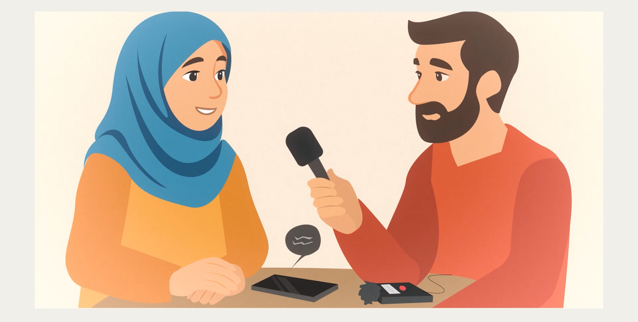
Consent forms for people with limited previous education
In this project, simple, multilingual videos were created to help refugees better understand and give informed consent to research participation.
-
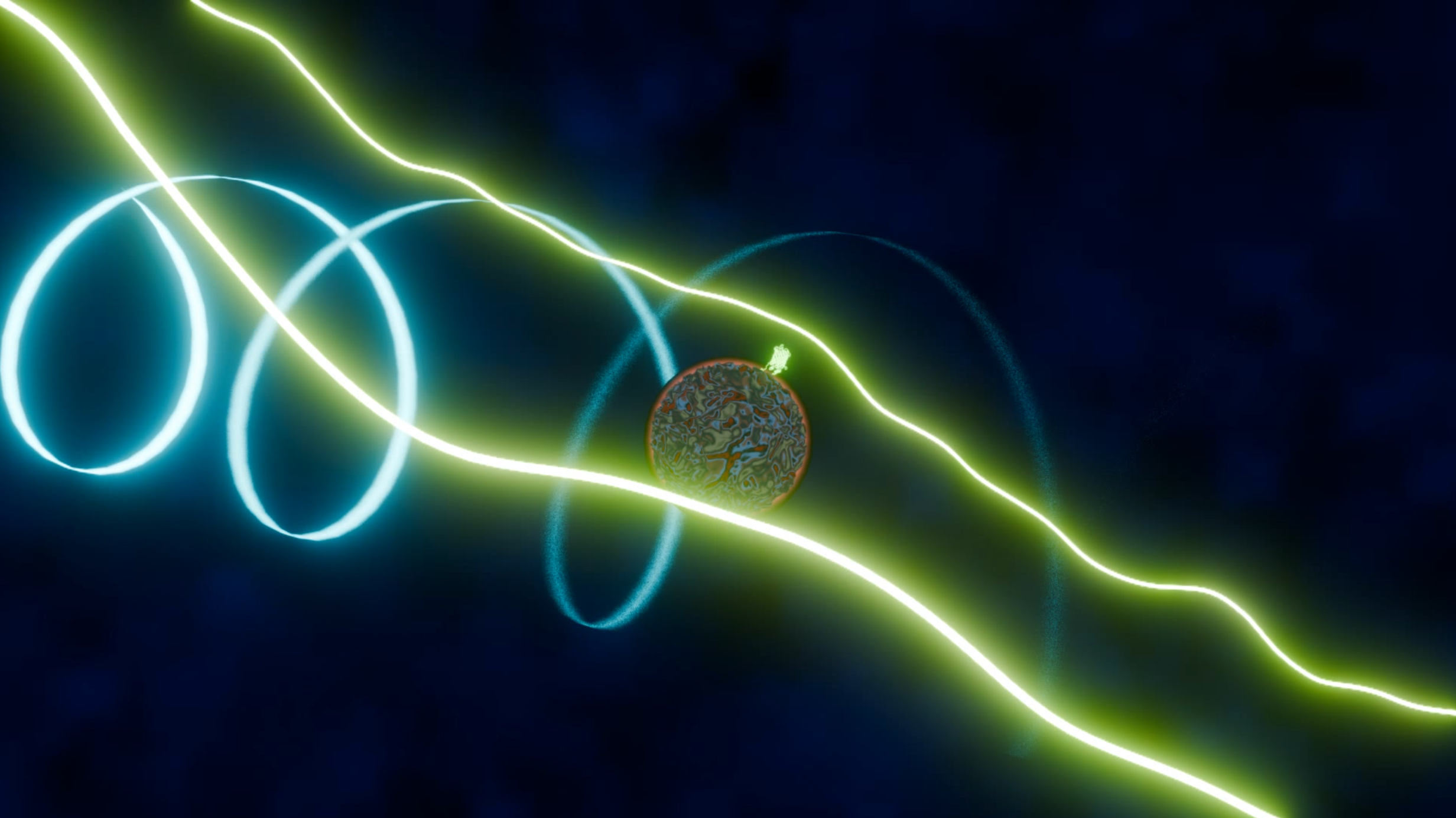
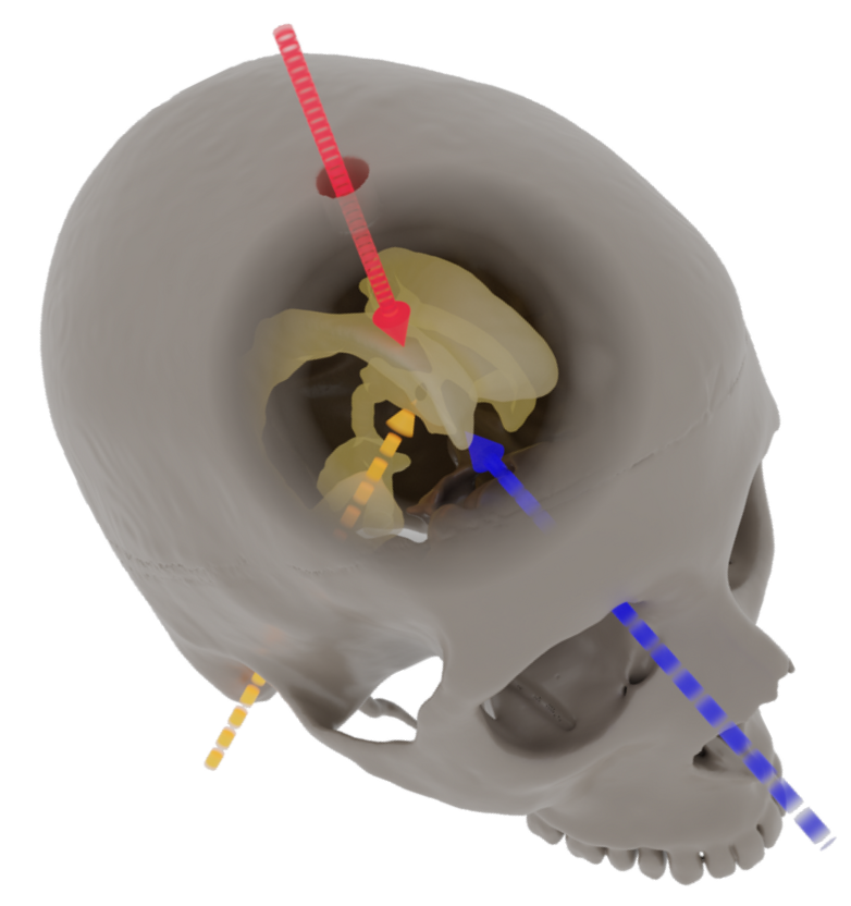
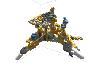
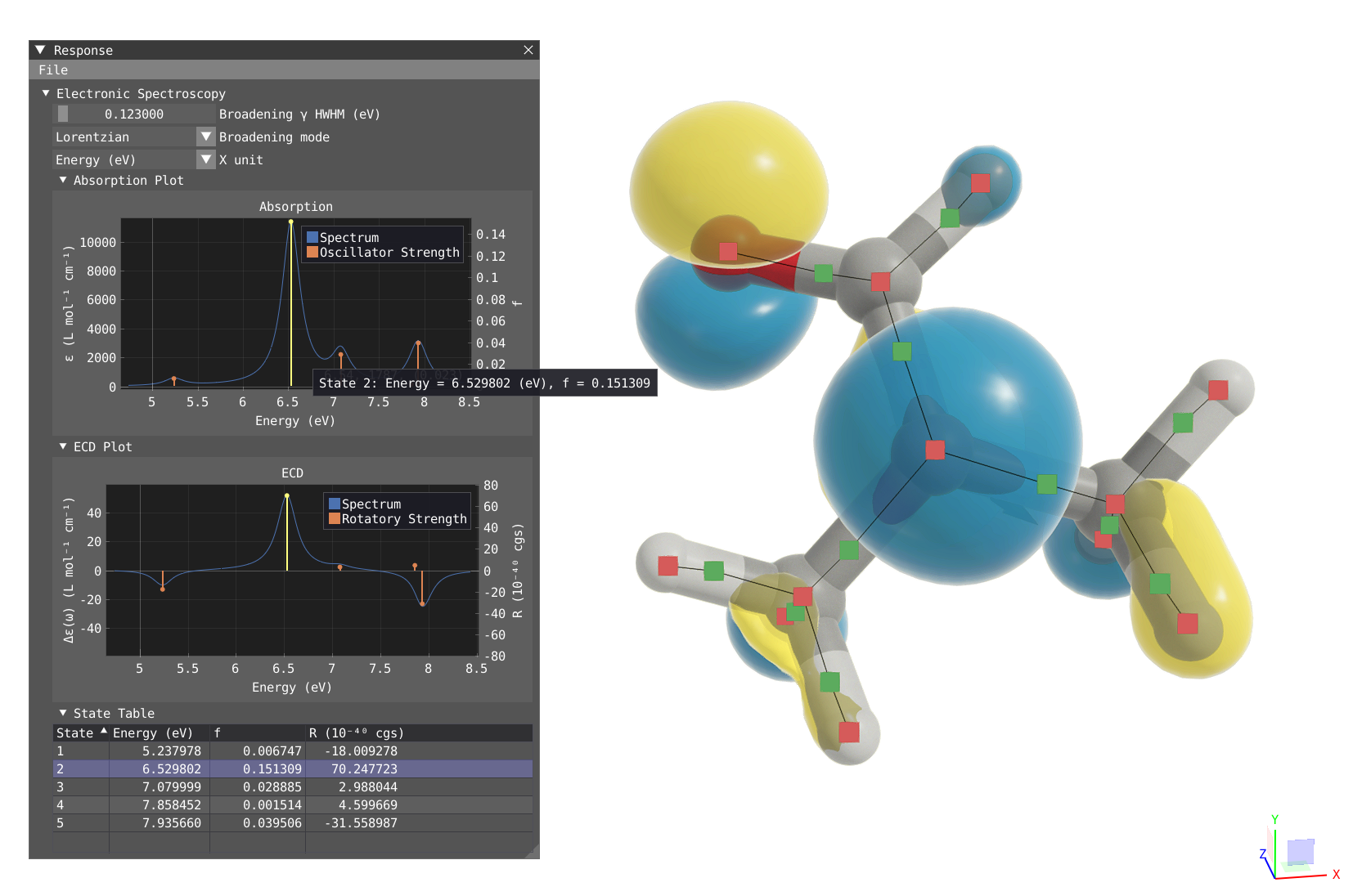
Visualizing physical interactions of molecules in macromolecular scale
The research group led by Ilaria Testa (KTH, SciLife Lab) has developed a novel method for measuring the rotation of molecules in a solution.
-
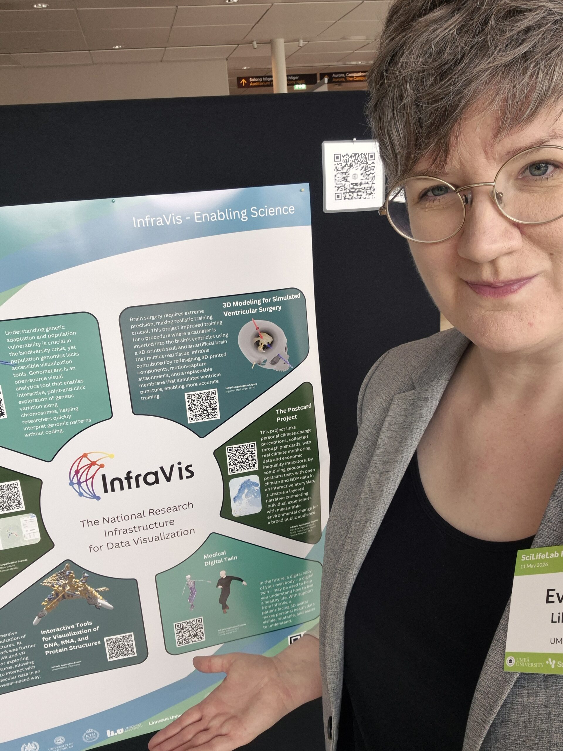
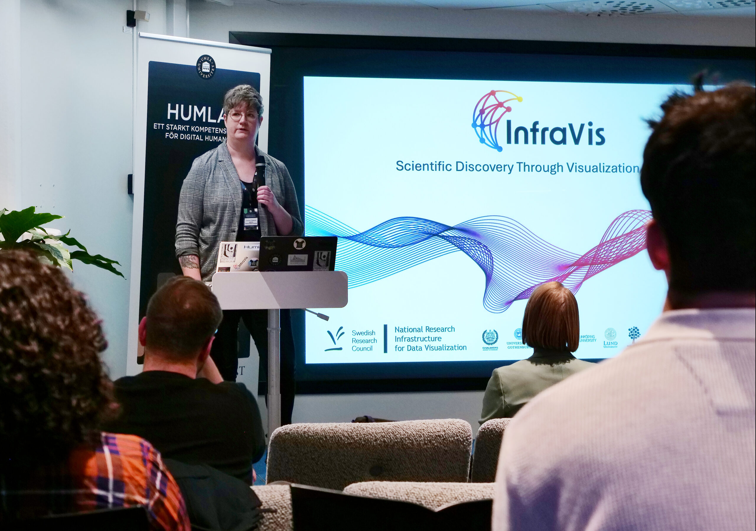
Showcasing InfraVis at SciLifeLab Infrastructure Day in Umeå
Evelina Liliequist and Maria Podkorytova presented InfraVis at the SciLifeLab Infrastructure Day at Umeå University on 11 May.
-
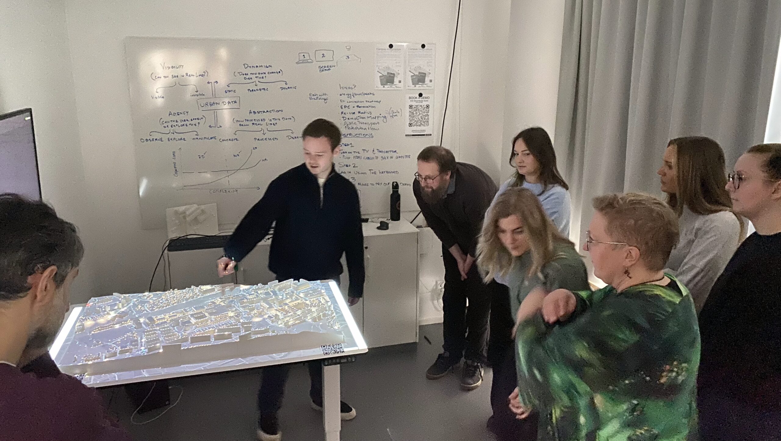
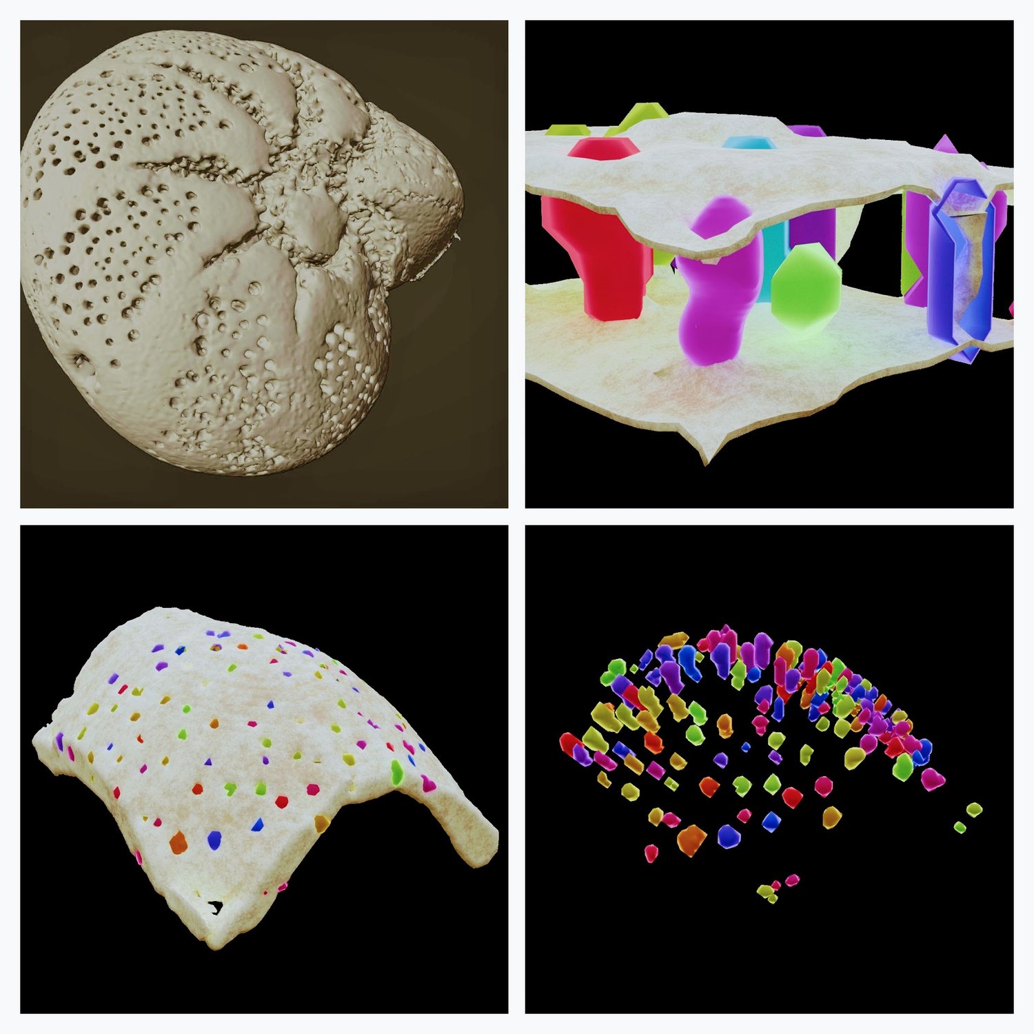
Digital Twin Cities – visualizing the future
Urban planning is complex, and rising water levels due to climate change add further challenges.
-
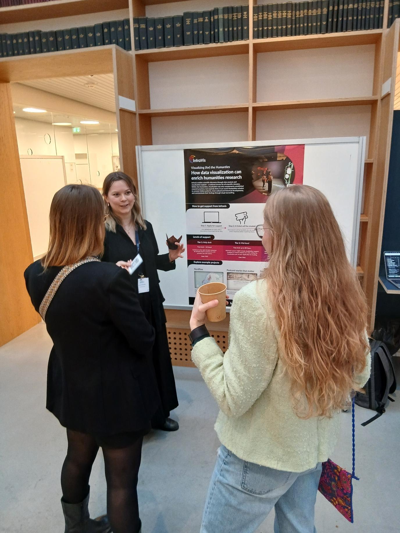
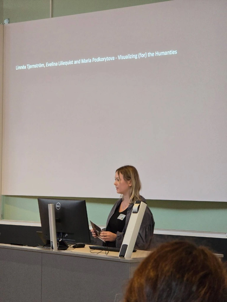
InfraVis Presented at DHNB: Digital Humanities in the Nordic and Baltic Countries
How do digital humanities researchers work with large and complex datasets? At the DHNB: Digital Humanities in the Nordic and Baltic Countries 2026 conference in March, InfraVis was presented by Linnéa Tjernström and Evelina Liliequist (both from the Umeå University node at Humlab) at Aarhus University through a poster and lightning talk.
-
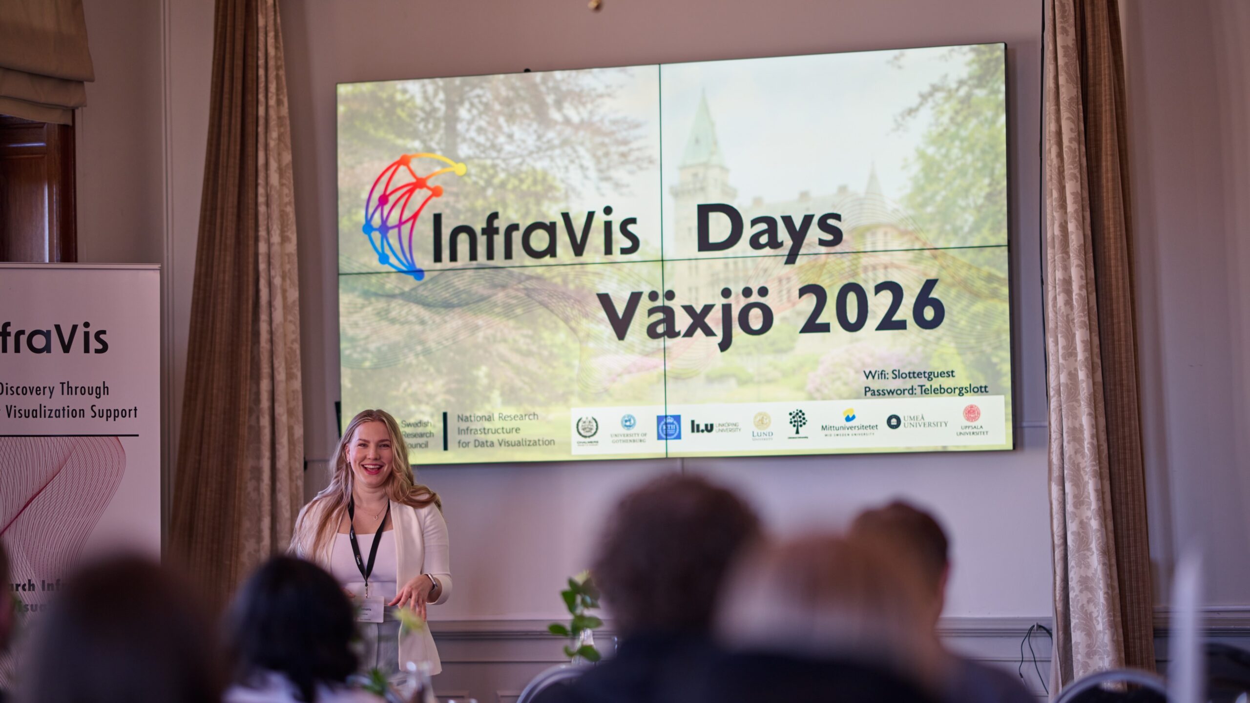
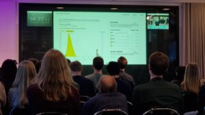
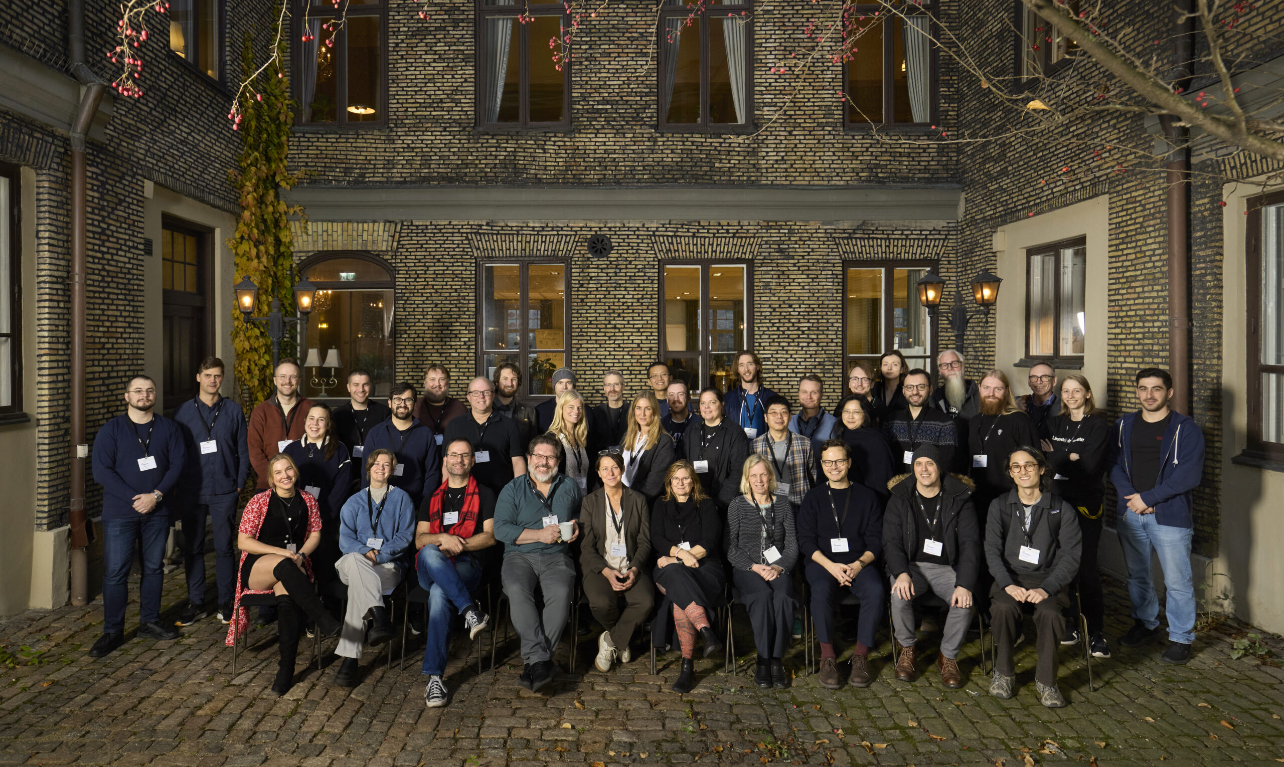
InfraVis Days in Växjö
InfraVis Days, 21-23 April 2026, at Linnaeus University showed the strength of InfraVis as a shared national research infrastructure, where eight nodes work together as one. User examples made clear how visualization enables new knowledge that would otherwise be impossible. Warm thanks to our hosts Karen Larkina, Andreas Kerren, and the entire Linnaeus University node…
More News
-
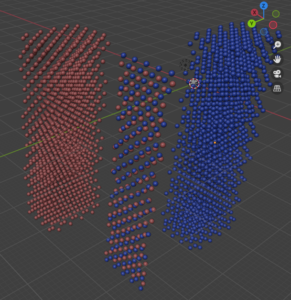
VIAMD (Visual Interactive Analysis of Molecular Dynamics)
VIAMD (Visual Interactive Analysis of Molecular Dynamics) is an innovative open-source software designed to enhance and streamline the analysis of molecular dynamics (MD) simulations.
-
InfraVis quarterly newsletter
The InfraVis newsletter comes out four times per year. This is the June 2026 edition.
-
New Interreg funding for data-driven research and innovation
We are delighted to share that DataCatalyst Öresund has been approved through Interreg Öresund-Kattegat-Skagerrak. The project brings together Lund University, DTU – Technical University of Denmark and Medicon Valley Alliance Microbiome Network to strengthen data-driven research and innovation across the Öresund region over the next three years.
-
InfraVis call 2026
InfraVis Call For Visualization Support is open throughout October 2026. Welcome with your application!
-
ForestVis: Visualizing Individual Tree Characteristics in Forest 3D Point Clouds Using Remote Sensing Data
ForestVis is a web-based 3D visualization system for the interactive visual exploration of forest data.
-
Consent forms for people with limited previous education
In this project, simple, multilingual videos were created to help refugees better understand and give informed consent to research participation.
-
Visualizing physical interactions of molecules in macromolecular scale
The research group led by Ilaria Testa (KTH, SciLife Lab) has developed a novel method for measuring the rotation of molecules in a solution.
-
Showcasing InfraVis at SciLifeLab Infrastructure Day in Umeå
Evelina Liliequist and Maria Podkorytova presented InfraVis at the SciLifeLab Infrastructure Day at Umeå University on 11 May.
-
Digital Twin Cities – visualizing the future
Urban planning is complex, and rising water levels due to climate change add further challenges.
-
InfraVis Presented at DHNB: Digital Humanities in the Nordic and Baltic Countries
How do digital humanities researchers work with large and complex datasets? At the DHNB: Digital Humanities in the Nordic and Baltic Countries 2026 conference in March, InfraVis was presented by Linnéa Tjernström and Evelina Liliequist (both from the Umeå University node at Humlab) at Aarhus University through a poster and lightning talk.
Past Events
-
Workshop 21 April: Visualize your research using Python
Welcome to this half day workshop 21 April that will cover the Python tools you need to visualize your research. Register here.
-
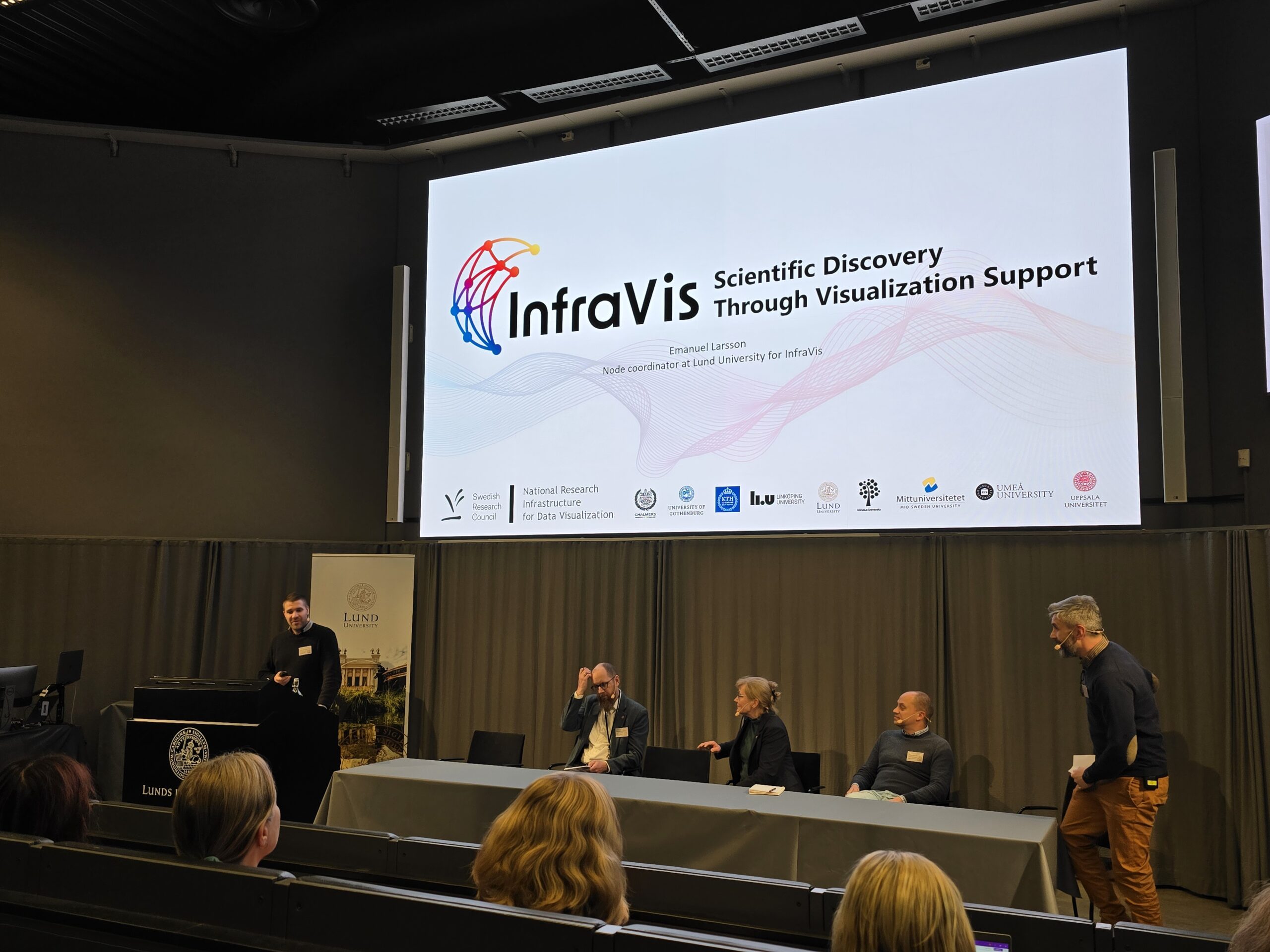
InfraVis Presented at LU Open Science Days
Emanuel Larsson, InfraVis node coordinator at Lund University, delivered a presentation at the Lund University Science Days on 19–20 November.
-
InfraVis Presented at HumInfra Conference
Linnéa Tjernström from the InfraVis node at Umeå University presented InfraVis at the HumInfra Concerence in Stockholm.
-
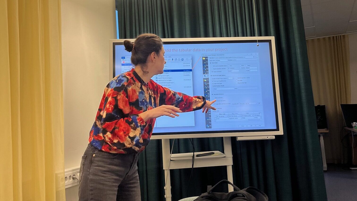
InfraVis User Training Workshop: Introduction to Geographic Information Systems
GIS workshop at Uppsala University 6 November held by InfraVis application expert Vasiliki Tsoumari.
-
InfraVis at satellite event to Swedish e-Science Academy 2025
InfraVis hosted a satellite event that was held during the InfraVis at satellite event to Swedish e-Science Academy 2025 together with Humlab and the Environmental Archaeology Lab (MAL).
-
LU Open Science Days 2025
Welcome to Lund University Open Science Day. InfraVis is part of the session Innovation and Open Science. Registration deadline November 6th.
-
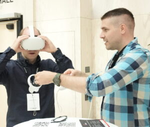
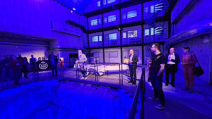
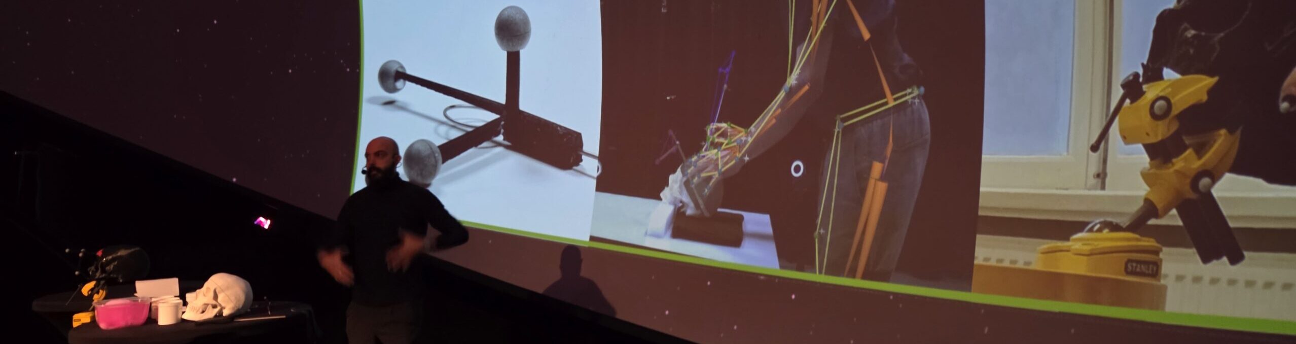
InfraVis at Treesearch ForMAX Workshop at MAX IV
At the Treesearch workshop at MAX IV Laboratory, InfraVis experts held a presentation, plus a Virtual Reality demo of the ForMAX beamline, where visitors could virtually visit the beamline.
-
InfraVis at MAX IV Laboratory Open Day
InfraVis teamed up with LINXS Institute of advanced Neutron and X-ray Science to welcome visitors at the Open Day at MAX IV Laboratory in Lund.
-
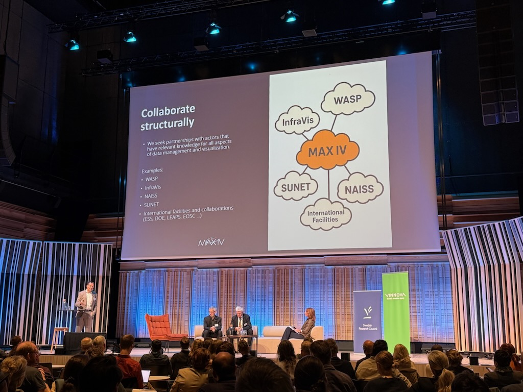
InfraVis at MAX IV Laboratory / European Spallation Source ERIC / SciLifeLab Summit
InfraVis joined the summit to highlight how Swedish national research infrastructures work for better handling, analysis and visualization of data.
-
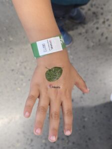
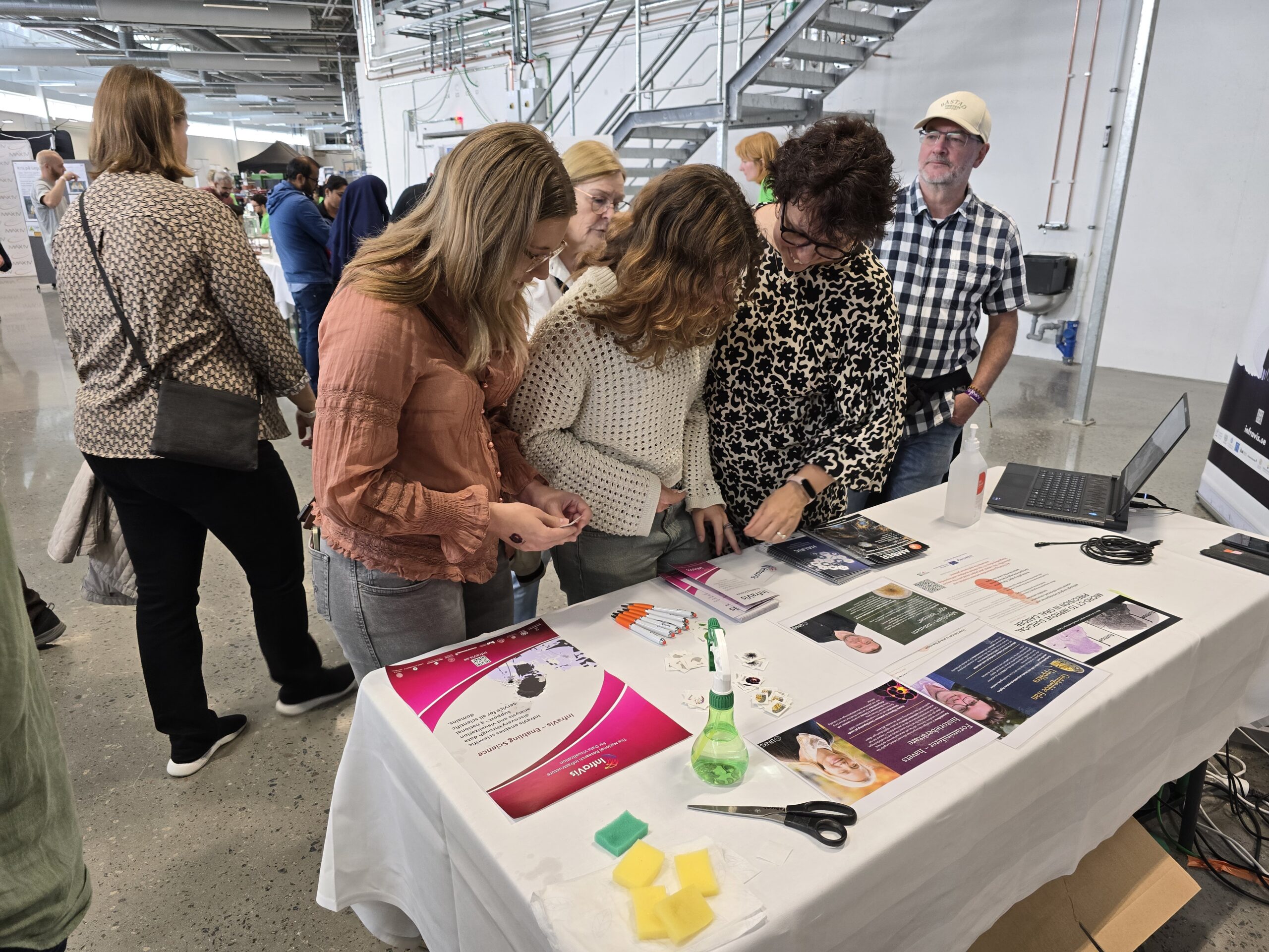
InfraVis at ForskarFredag September 2025
ForskarFredag is a one-week annual science festival held at various places around Sweden and InfraVis contributed with activities in Lund and Norrköping.
-
InfraVis User Training Workshop: Introduction to Geographic Information Systems
Welcome to a hands-on GIS workshop at Uppsala University 6 November 13.15-15. The workshop is held by InfraVis application expert Vasiliki Tsoumari.
-
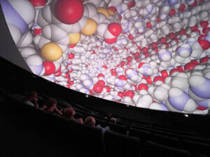
InfraVis Days in Gothenburg
A big thank you to our wonderful hosts at the Gothenburg node who made the bi-annual internal event InfraVis Days very fruitful and pleasant. Workshops, presentations, immersive dome experiences, new angles on knowledge, and of course, a chance for all of us to meet in person.
Past Trainings
-
Workshop: Visualize your research using Python
Welcome to this half day workshop 11 March that will cover the Python tools you need to visualize your research. Register here.
-
Workshop: NodeGoat
Welcome to this workshop in NodeGoat offered by InfraVis and CDHU 19 March 2026. NodeGoat is a web-based instrument designed for visualizing data from the social sciences and humanities across space and time. It enables users to map, connect, and analyze data, as well as to share research results in an interactive way.
-
InfraVis User Training Workshop: Introduction to Geographic Information Systems
GIS workshop at Uppsala University 6 November held by InfraVis application expert Vasiliki Tsoumari.
-
InfraVis User Training Workshop: Introduction to Geographic Information Systems
Welcome to a hands-on GIS workshop at Uppsala University 6 November 13.15-15. The workshop is held by InfraVis application expert Vasiliki Tsoumari.
-
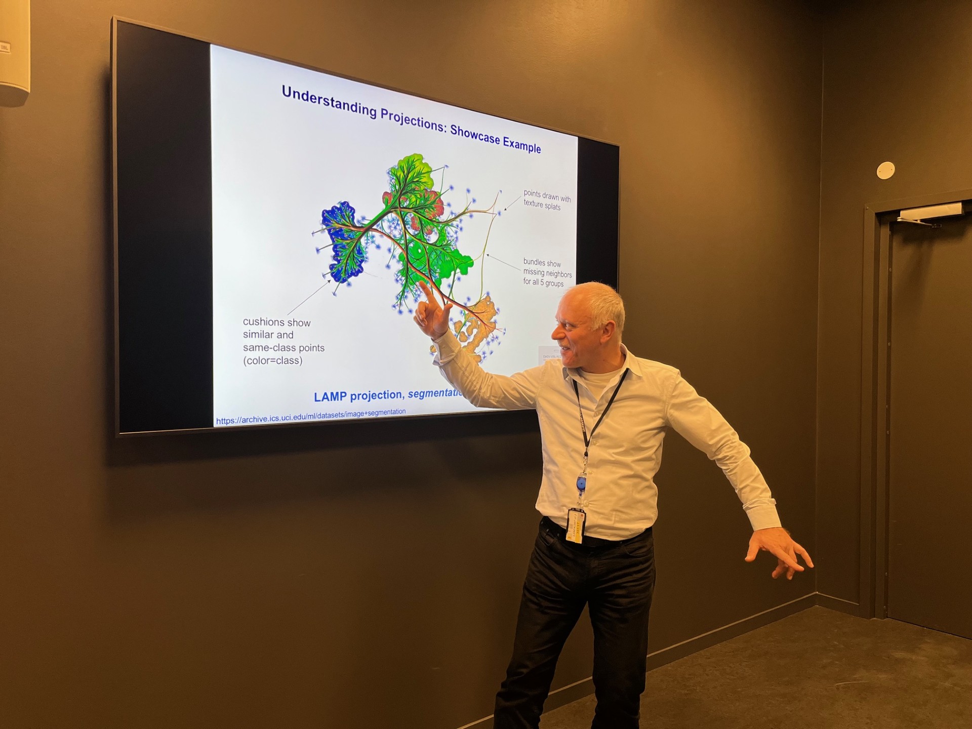
InfraVis Colloquium Recap: Tackling High-Dimensional Data Visualization
19th November Uppsala University arranged a session on Information Visualization, where the renowned professor Professor Alexandru C. Telea, Utrecht University, The Netherlands, was invited to teach.
-
QGIS: Geographic information systems for research data (Infravis Training Module)
Time: November 14, 2024; Location: CDHU Uppsala University
-
Hackathon: SynchroMage: 3D Tomography and Visualisation for Earth’s Hidden Treasures – Environment and Climate theme
Time: October 22-23, 2024; LINXS – Institute of Advanced Neutron and X-ray Science, IDEON Delta 5, Floor 5, Scheelevägen 19, 223 70 Lund, Sweden
-
Using and enhancing the Digital Twin Cities Platform for state-of-the-art visualization on the urban scale
Time: September 21, 2023; Location: Chalmers
-

Visualizing Geographic Data
Time: 2022; Location: Uppsala University
-
Visualizing Data of Varying Dimensions
Time: 2022; Location: Uppsala University