Highlights
-
InfraVis Days in Stockholm
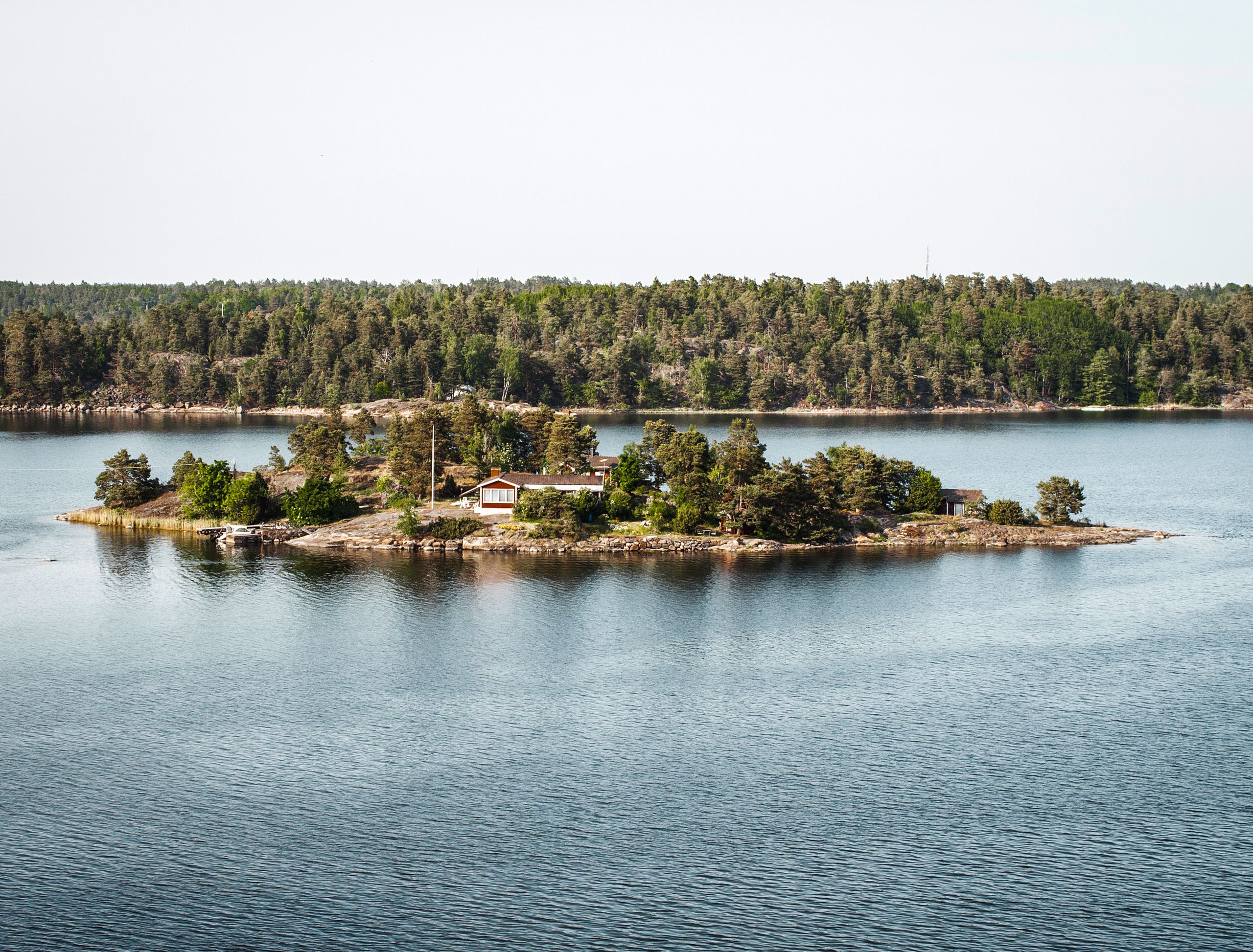
InfraVis Days in Stockholm, 24-26 November 2026 (internal event) The bi-annual InfraVis event InfraVis days will this autumn be held in Stockholm. This time, no particular node is hosting, and instead we are meeting to focus on the applications from this year’s annual call, and on internal training.
-
InfraVis quarterly newsletter
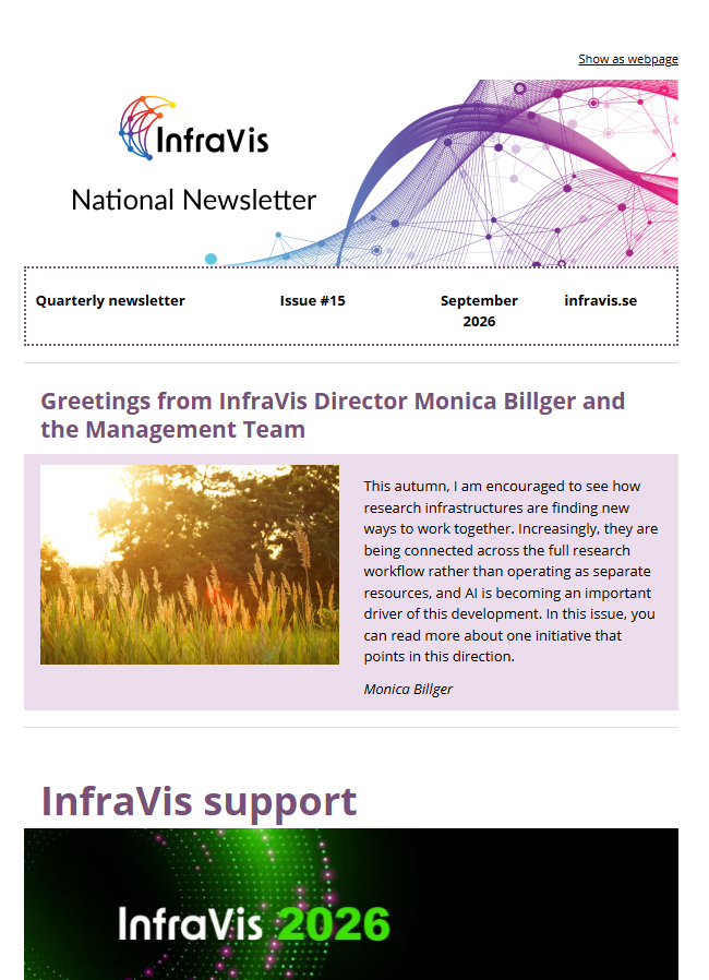
The InfraVis newsletter comes out four times per year. This is the September 2026 edition.
-
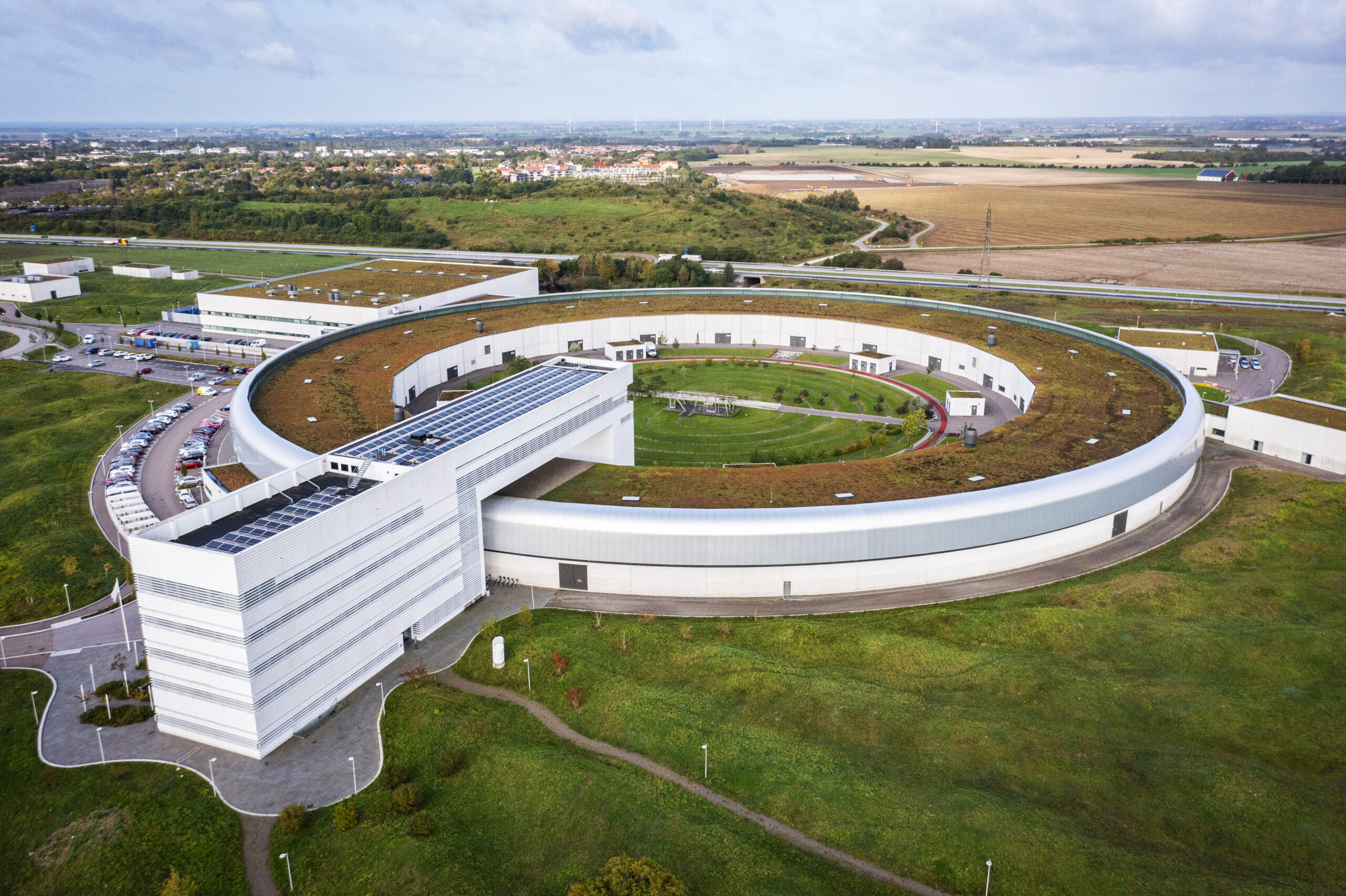
From experiment to insight: connecting three national research infrastructures
MAX IV, NAISS and InfraVis are joining forces to connect data generation, high-performance computing and advanced visualization. Through the NIM project, the three national research infrastructures are creating more seamless workflows that help researchers process, analyse and interpret data more efficiently, reducing technical barriers and accelerating scientific discovery.
-
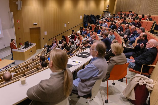
InfraVis – Visualization & Dimensionality Reduction
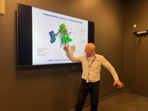
As part of the satellite programme of the Swedish E-Science Acadamy, InfraVis hosts: InfraVis – Visualization & Dimensionality Reduction 13 October, 09:00-16:00
-
InfraVis call 2026
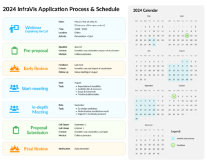
InfraVis Call For Visualization Support is open throughout October 2026. Welcome with your application!
-
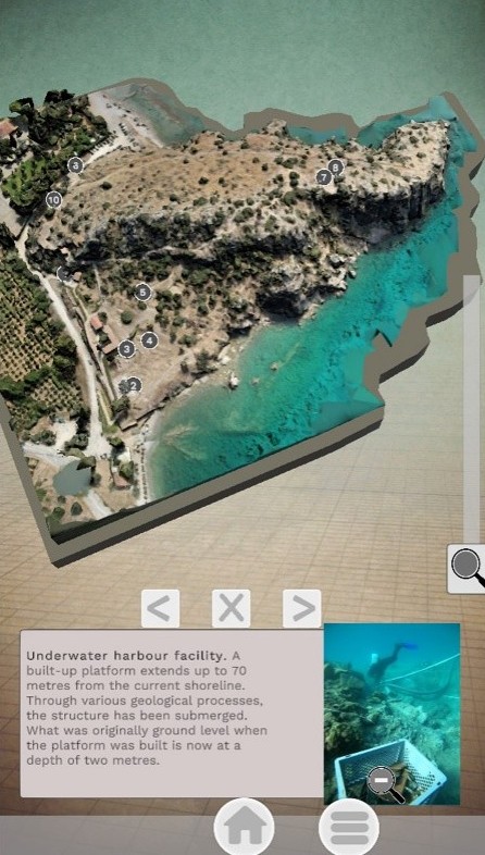
PAST – Platsen Asine Spår och Tid
PAST – Platsen Asine Spår och Tid, brings archaeological heritage to life through interactive digital storytelling. By combining digital technologies with rich archaeological data, the project creates an immersive experience where visitors can explore archaeological heritage and research through an interactive touchscreen installation at Gustavianum Museum in Uppsala.
-
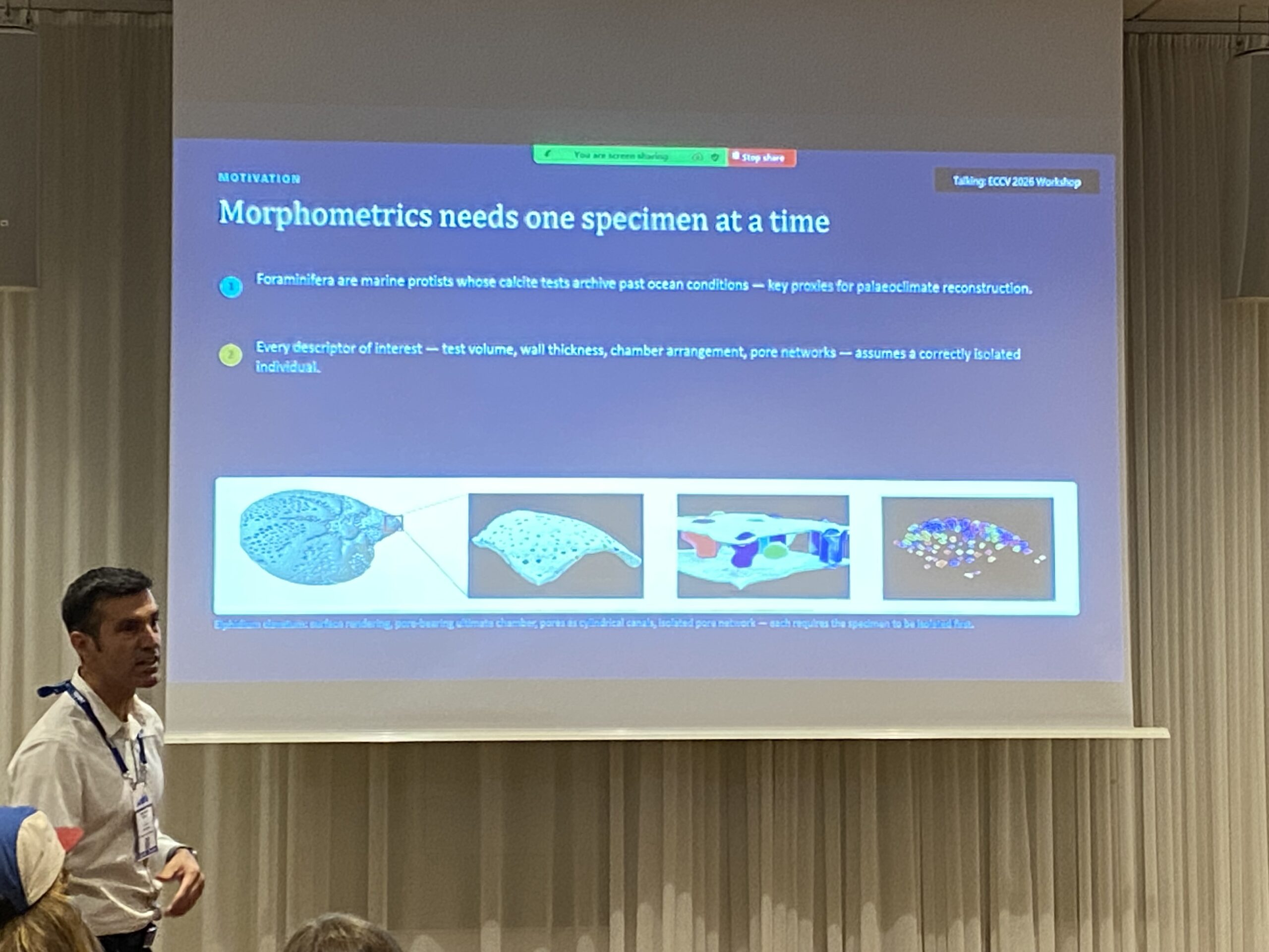
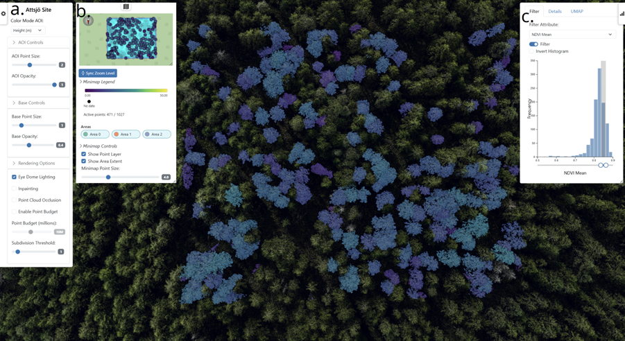
Accepted paper presented at ECCV 2026 Workshops: New Methods For Studying Foraminifera In 3D
InfraVis application expert Alexandros Sopasakis has together with InfraVis user Helena Filipsson co-authored a paper accepted to the ECCV 2026 Workshops, part of one of the world’s leading conference series in computer vision. The paper was presented at the ECCV conference in Malmö.
-
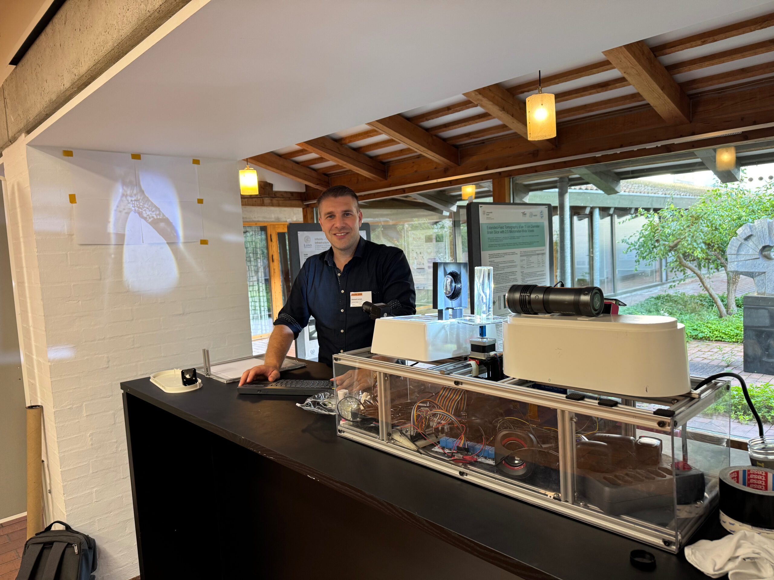
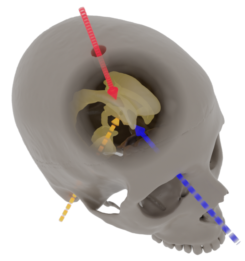
Bridging cutting-edge X-ray imaging and clinical research
Several InfraVis experts contributed to the scientific programme of MASRi 2026 in Helsingör, Denmark.
-
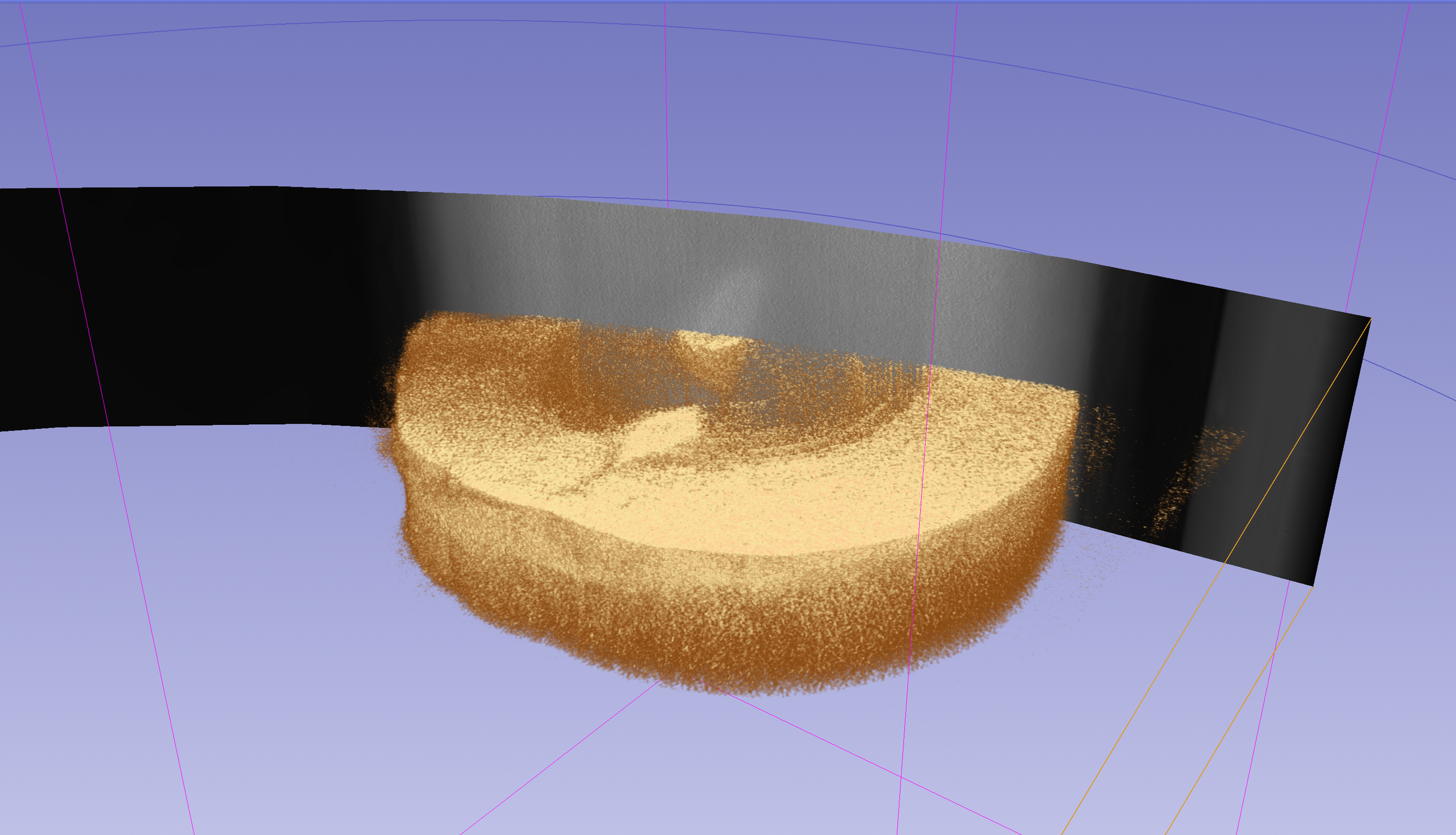
CT Sinogram Visualiser
InfraVis helped develop a real-time visualization tool for complex CT scan data (sinograms), allowing researchers to spot measurement issues early, identify areas of interest, and reduce the need for time-consuming reconstructions during imaging experiments.
-
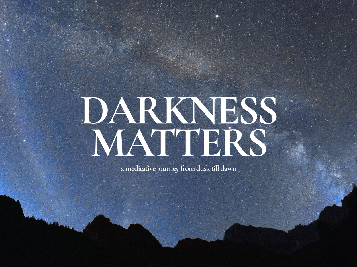
Darkness Matters
Darkness Matters is a fulldome documentary and research project offering a meditative journey through natural darkness bringing awareness about the increasing issue of light pollution. Costanza Julia Bani contacted InfraVis with the goal of bringing a future perspective on the light pollution issue.
More News
-
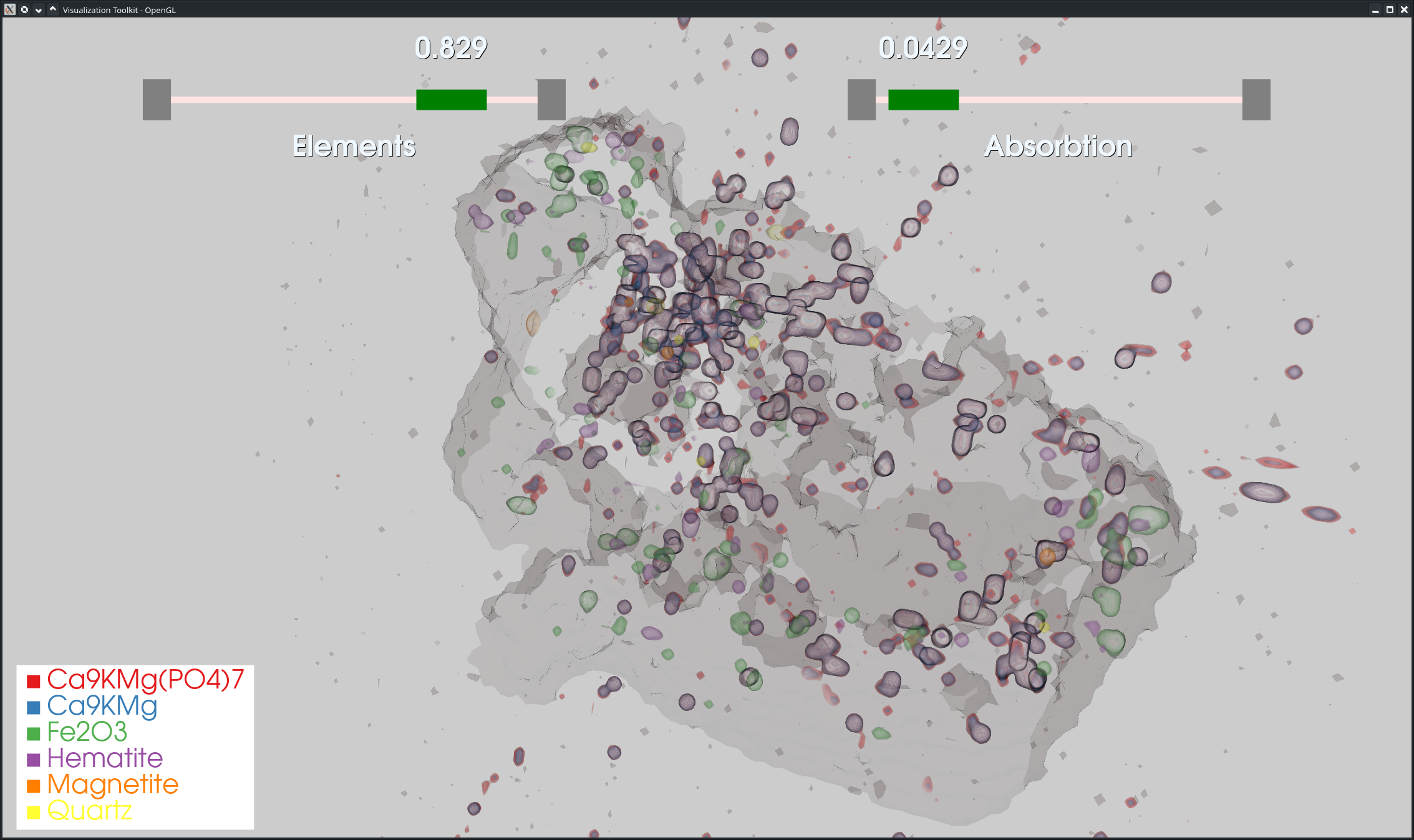
Advanced Visualization for Nutrient Recovery
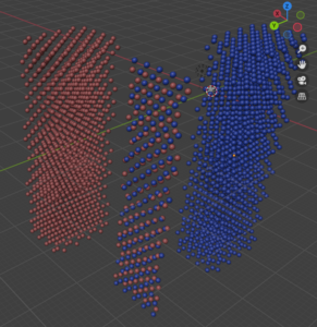
Searching for phosphates in tiny particles of dust and soot, using advanced visualizations and data analysis of volume slices from XRF uCT scans.
-
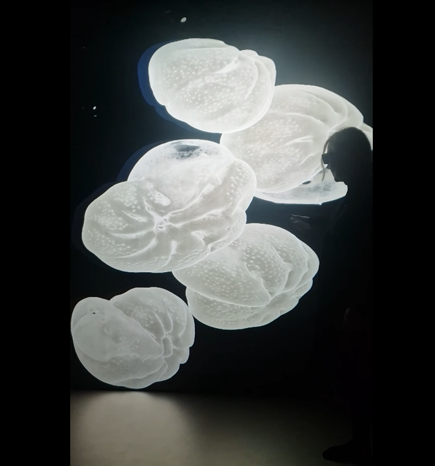
InfraVis Expo, 21 September, Lund
InfraVis Expo 21 September 2026 | Lund Join us at the InfraVis Expo on 21 September to discover how the national research infrastructure InfraVis supports researchers through advanced data analysis and visualization.
-
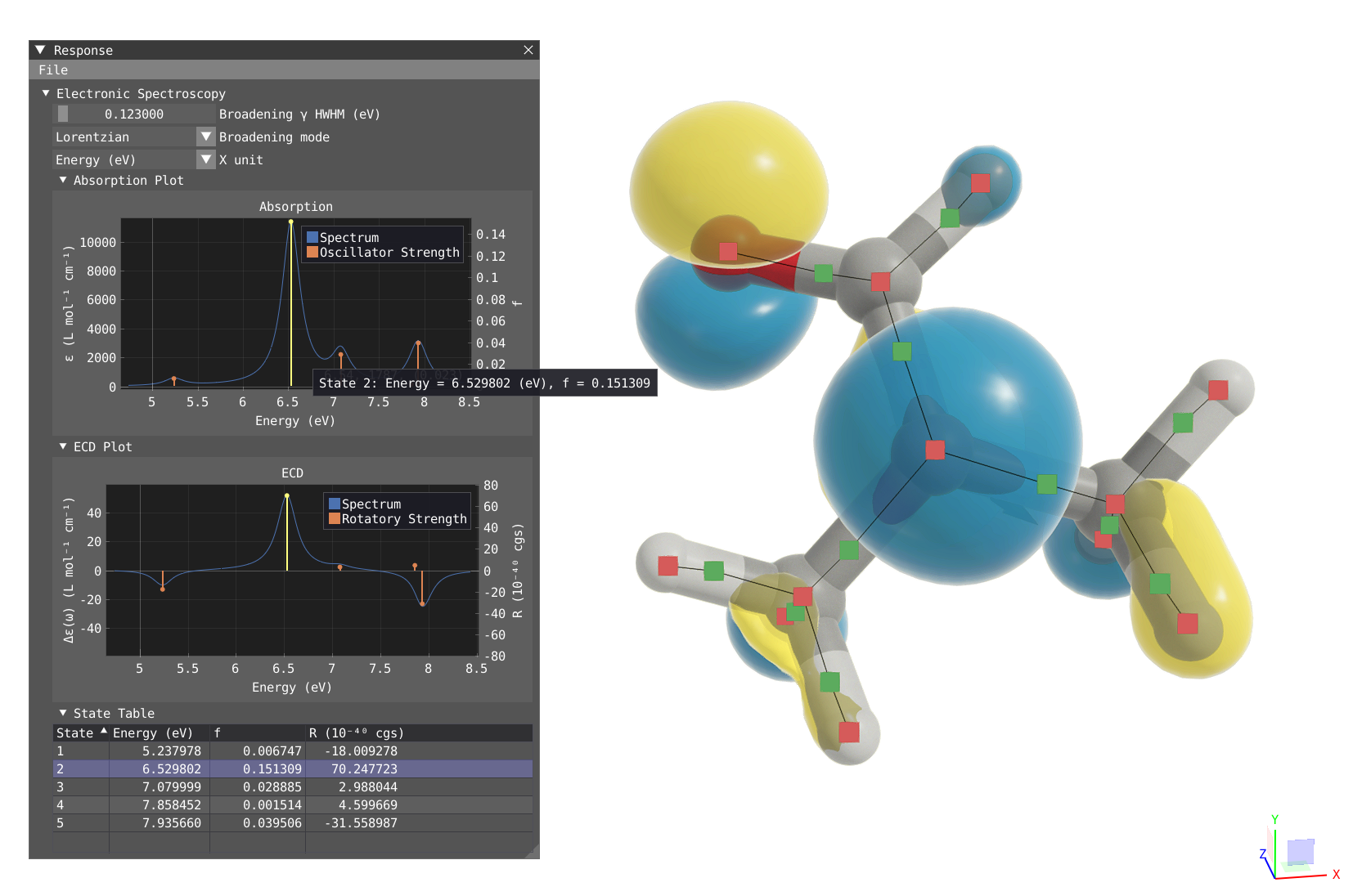
VIAMD (Visual Interactive Analysis of Molecular Dynamics)
VIAMD (Visual Interactive Analysis of Molecular Dynamics) is an innovative open-source software designed to enhance and streamline the analysis of molecular dynamics (MD) simulations.
-
InfraVis quarterly newsletter
The InfraVis newsletter comes out four times per year. This is the June 2026 edition.
-

Consent forms for people with limited previous education
In this project, simple, multilingual videos were created to help refugees better understand and give informed consent to research participation.
-
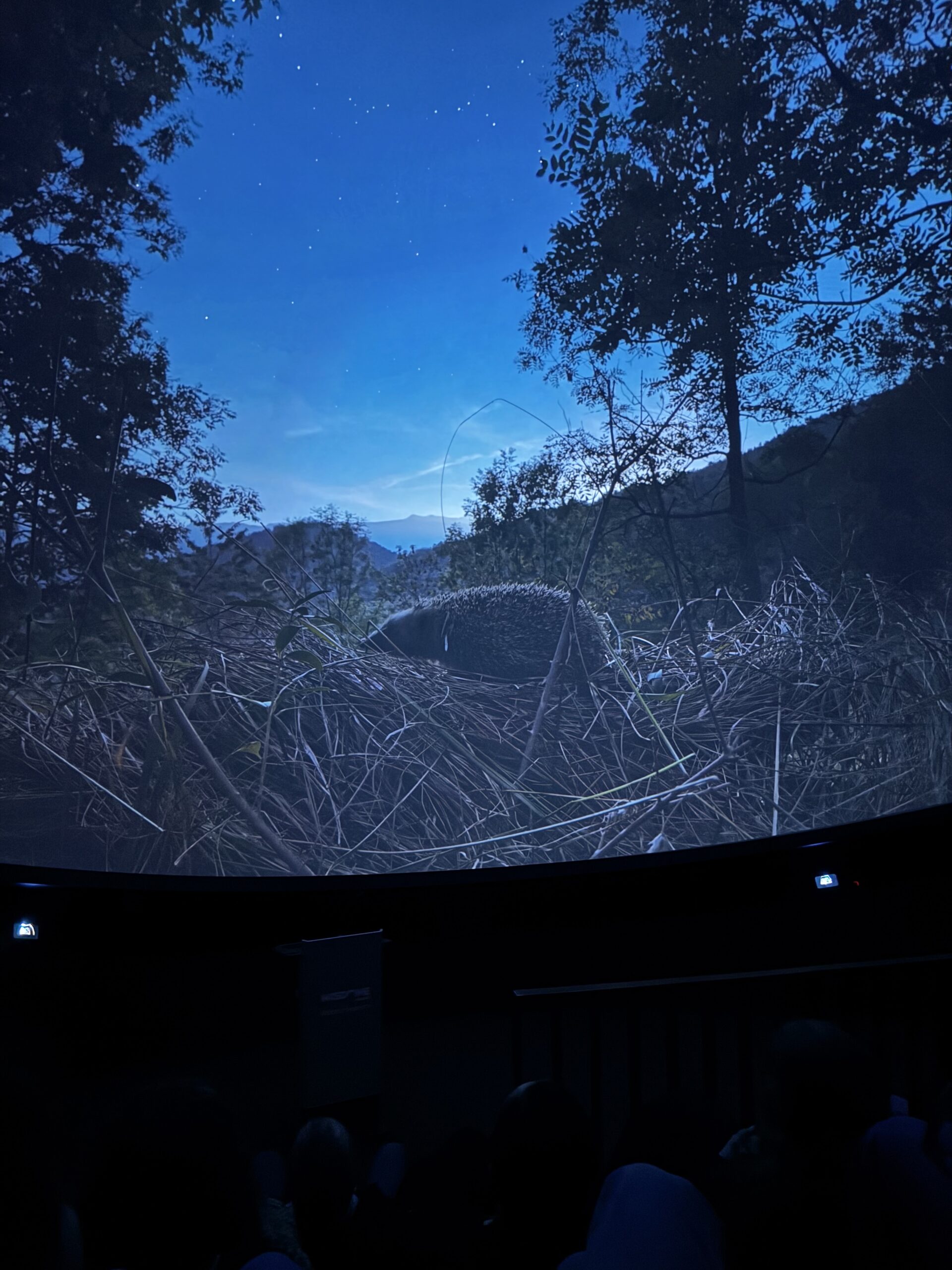
InfraVis at the Industry Premiere of Darkness Matters
InfraVis recently joined the industry premiere of the dome film Darkness Matters by Costanza Julia Bani at m:brane in Malmö. InfraVis contributed to the production through Julius Häger, who provided precise measurements of light pollution at several specific locations.
-
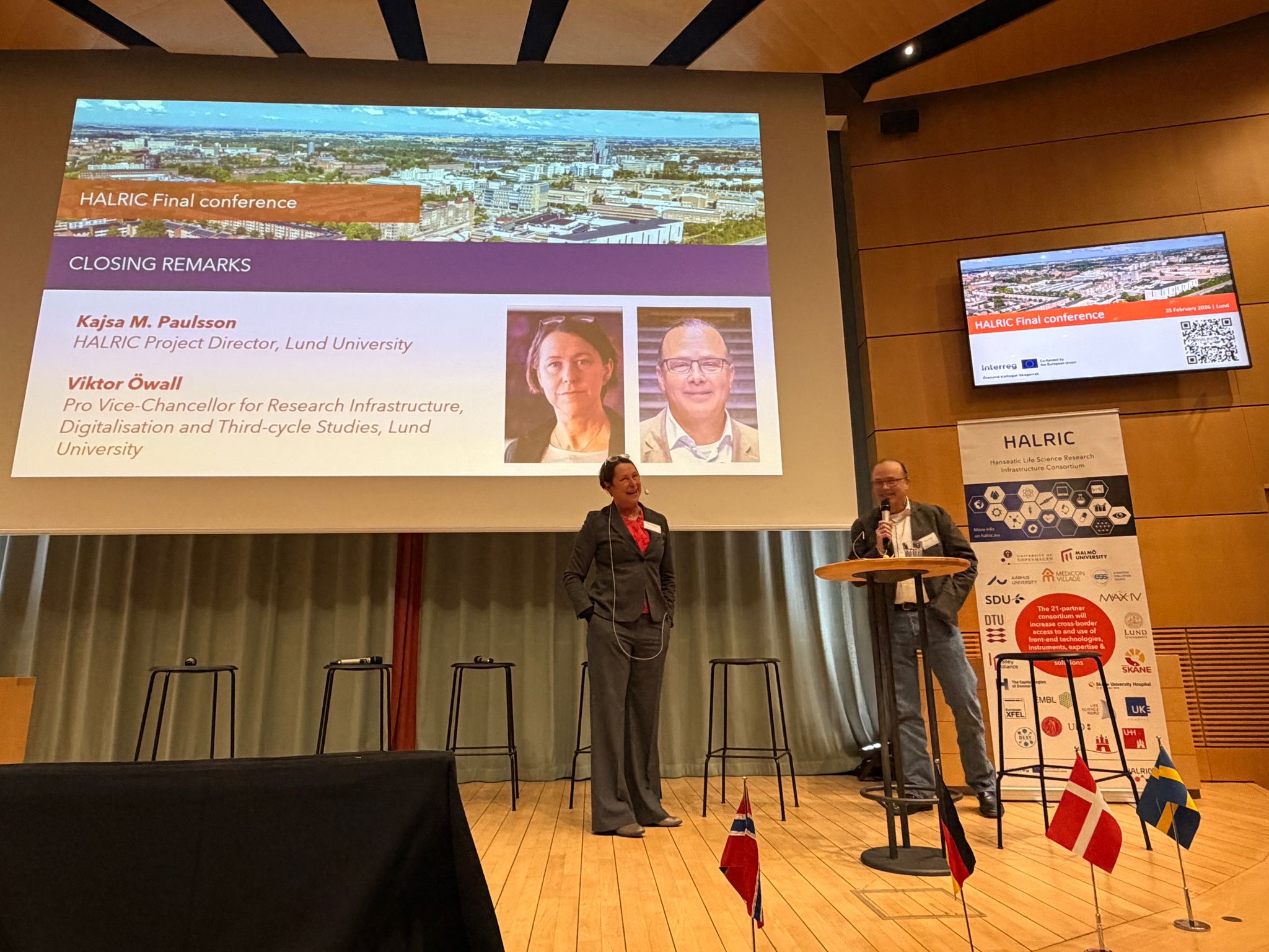
InfraVis at HALRIC final conference
Cross‑border data collaboration is essential for unlocking the full value of major research infrastructures. The final HALRIC conference highlighted how coordinated expertise from QIM and CIPA/InfraVis boosts scientific impact and why long‑term, interoperable data support must be a shared priority.
-
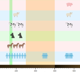
Human Timeline
Human-Timeline is an interactive React and PlotlyJS application that visualizes the coevolution of human culture , diverse life species and environmental factors across vast timescales. Inspired by SIMILE’s TimePlot and TimeLine patterns, it combines stacked timelines with dual-axis plots so users can see discrete events, continuous measurements, and contextual periods in one place.
-
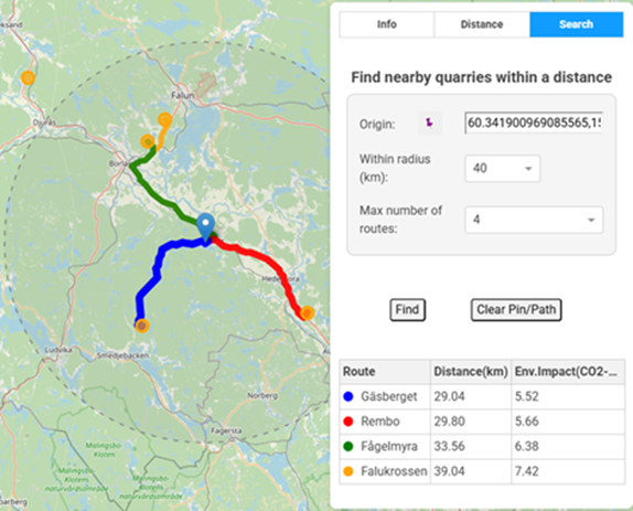
GIS Benchmark Tool for Environmental Impact of Quarries and Mining Industry
QuarryGIS is an interactive environmental visualization and benchmarking tool built to make quarry and construction sector impacts tangible for producers, clients, and planners.
-
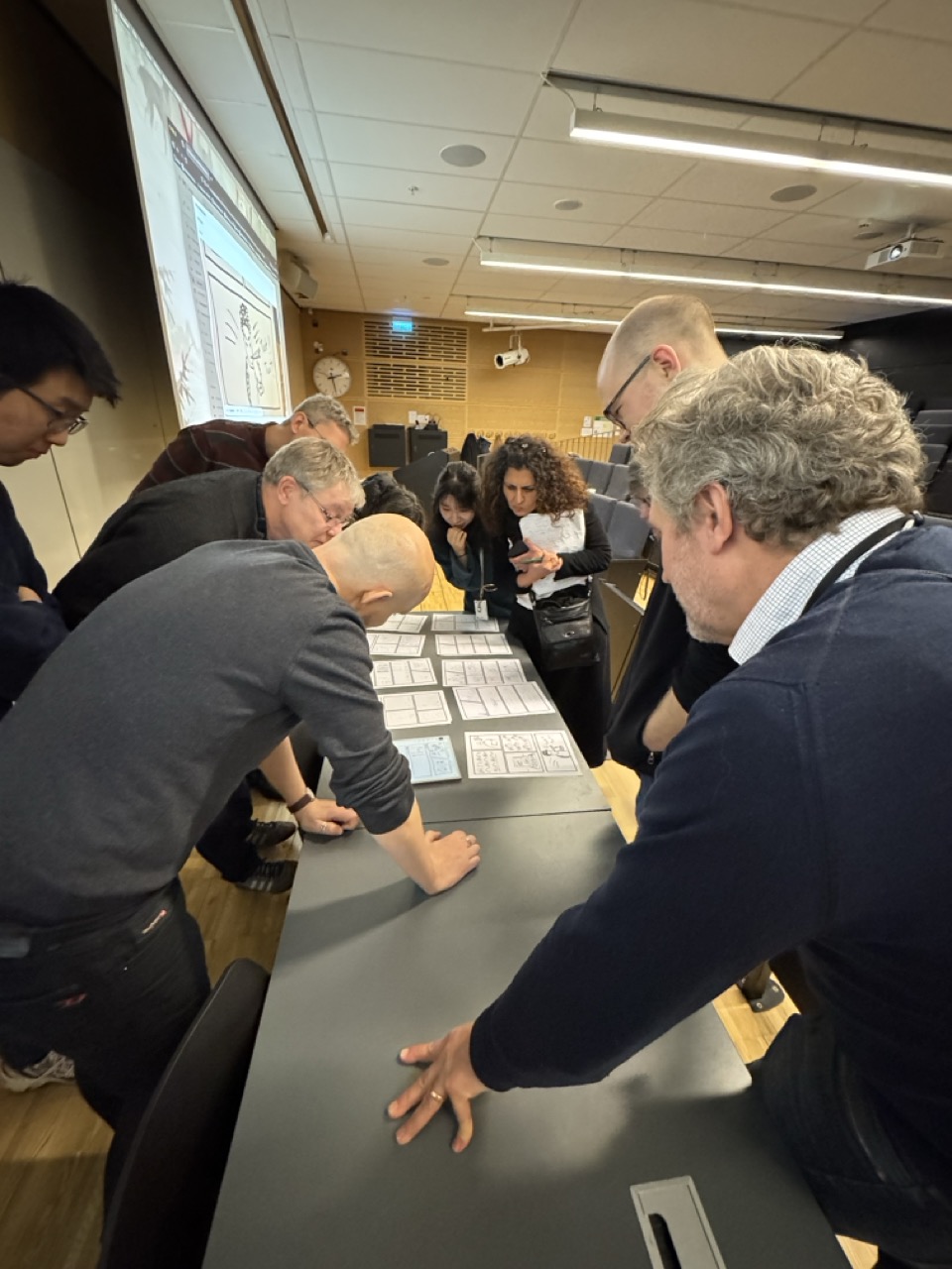
COMPUTE 2025
Two InfraVis nodes were represented at this year’s COMPUTE meeting at Lund University, an event aimed at all COMPUTE members and COMPUTE associates. The theme of the event was Computational work in the public sector and industry.
Past Events
-
InfraVis Expo, 21 September, Lund
InfraVis Expo 21 September 2026 | Lund Join us at the InfraVis Expo on 21 September to discover how the national research infrastructure InfraVis supports researchers through advanced data analysis and visualization.
-

Workshop 21 April: Visualize your research using Python
Welcome to this half day workshop 21 April that will cover the Python tools you need to visualize your research. Register here.
-
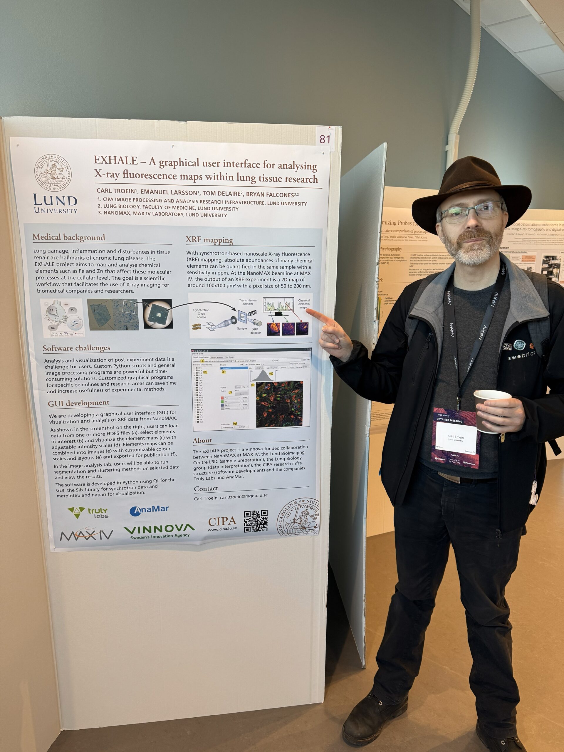
InfraVis at the 37th MAX IV User Meeting
InfraVis presented two posters at the 37th MAX IV User Meeting in January 2026.
-
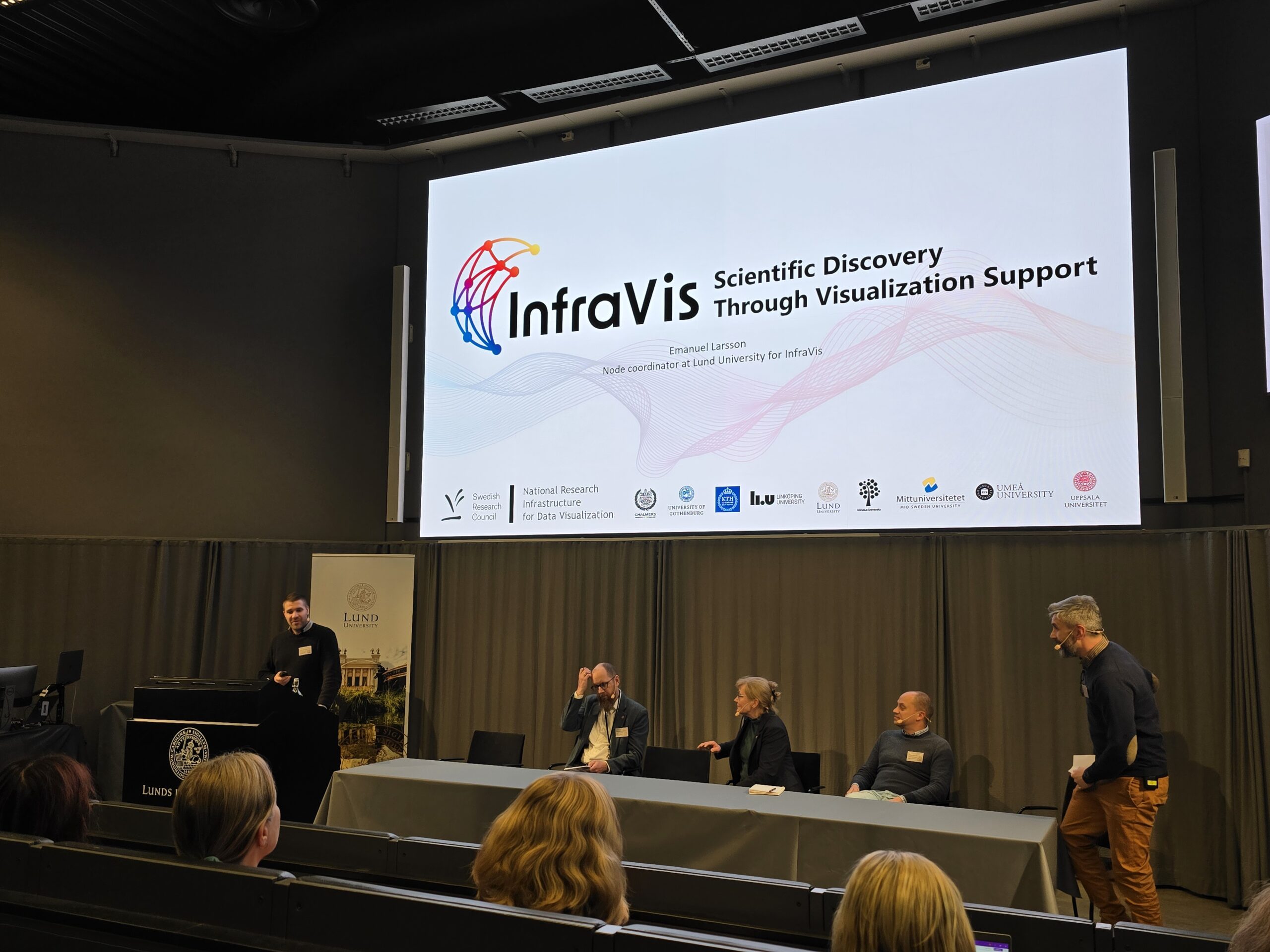
InfraVis Presented at LU Open Science Days
Emanuel Larsson, InfraVis node coordinator at Lund University, delivered a presentation at the Lund University Science Days on 19–20 November.
-
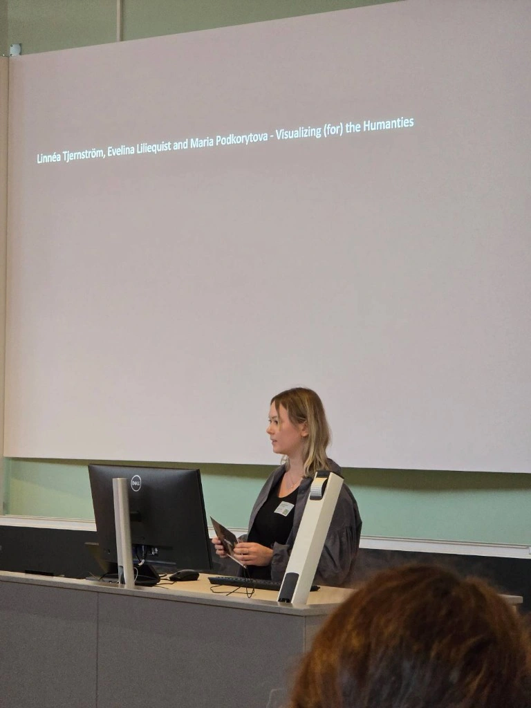
InfraVis Presented at HumInfra Conference
Linnéa Tjernström from the InfraVis node at Umeå University presented InfraVis at the HumInfra Concerence in Stockholm.
-
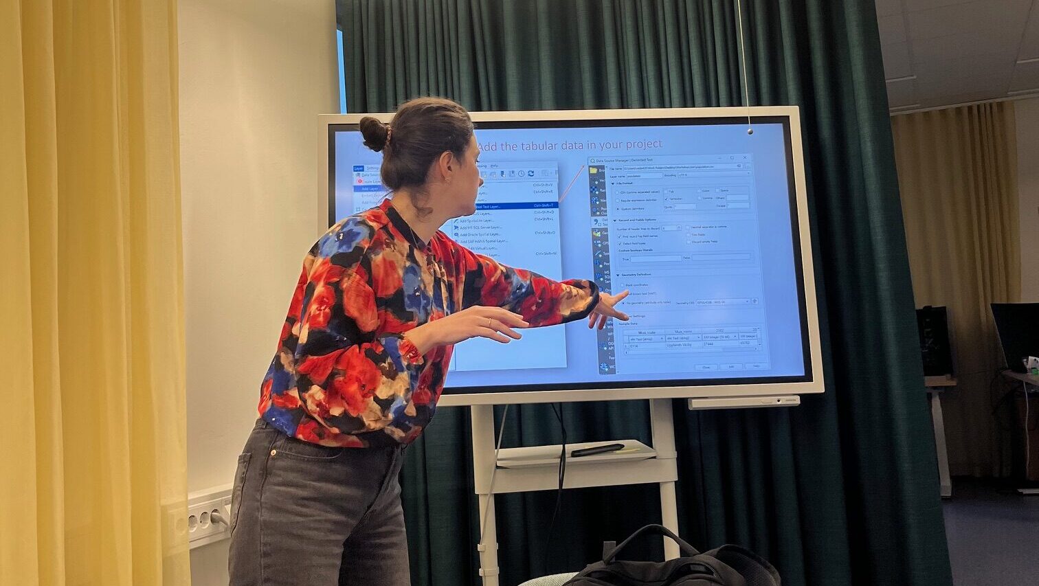
InfraVis User Training Workshop: Introduction to Geographic Information Systems
GIS workshop at Uppsala University 6 November held by InfraVis application expert Vasiliki Tsoumari.
-
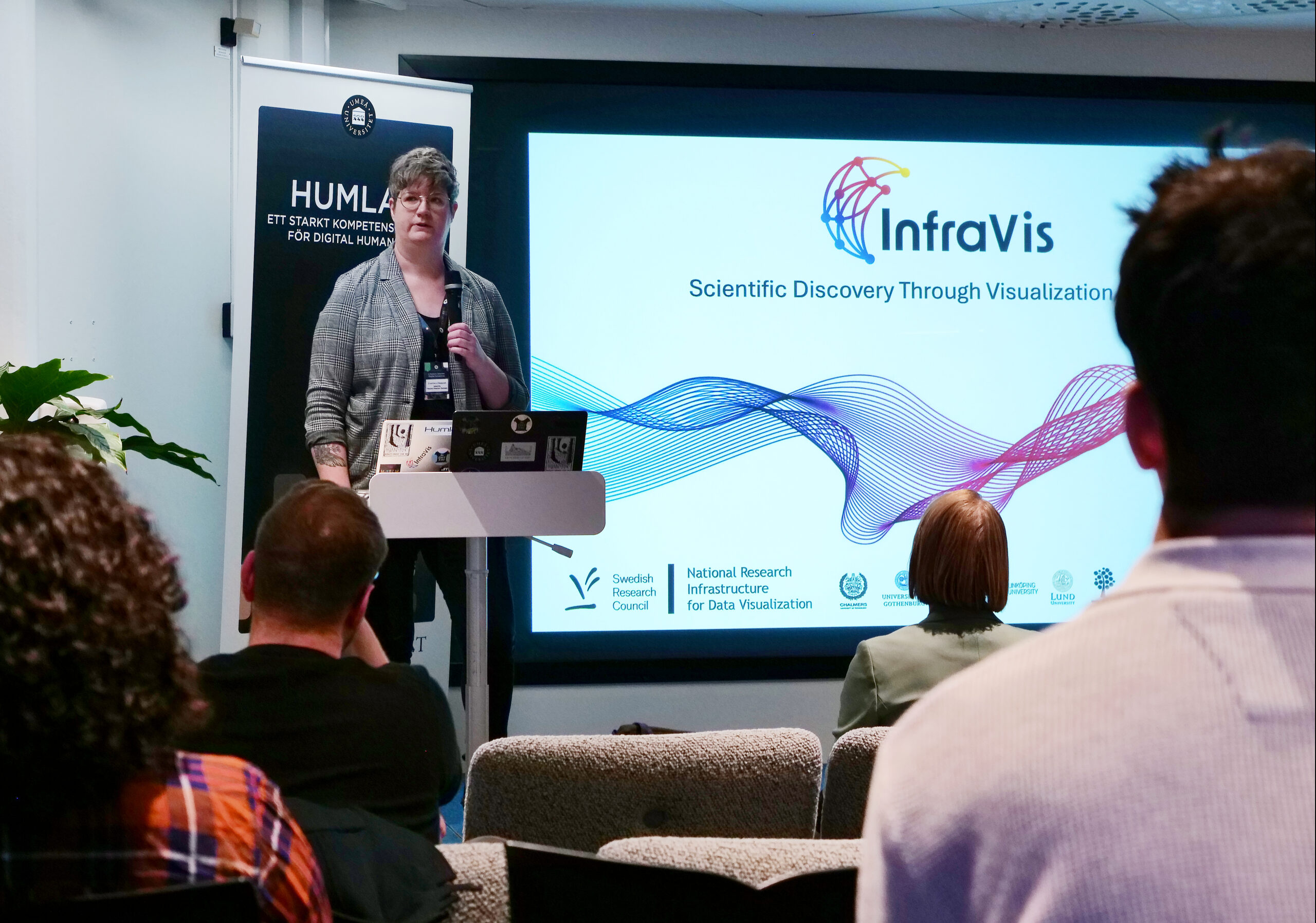
InfraVis at satellite event to Swedish e-Science Academy 2025
InfraVis hosted a satellite event that was held during the InfraVis at satellite event to Swedish e-Science Academy 2025 together with Humlab and the Environmental Archaeology Lab (MAL).
-
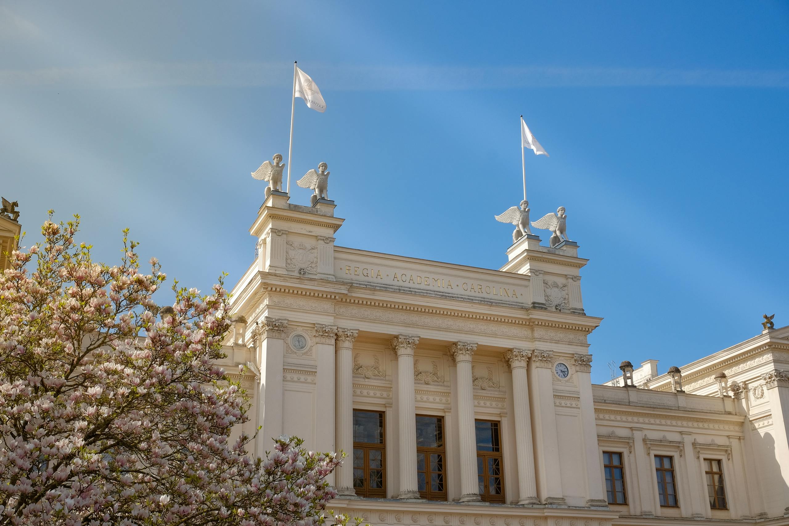
LU Open Science Days 2025
Welcome to Lund University Open Science Day. InfraVis is part of the session Innovation and Open Science. Registration deadline November 6th.
-
InfraVis at Treesearch ForMAX Workshop at MAX IV
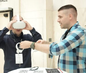
At the Treesearch workshop at MAX IV Laboratory, InfraVis experts held a presentation, plus a Virtual Reality demo of the ForMAX beamline, where visitors could virtually visit the beamline.
-
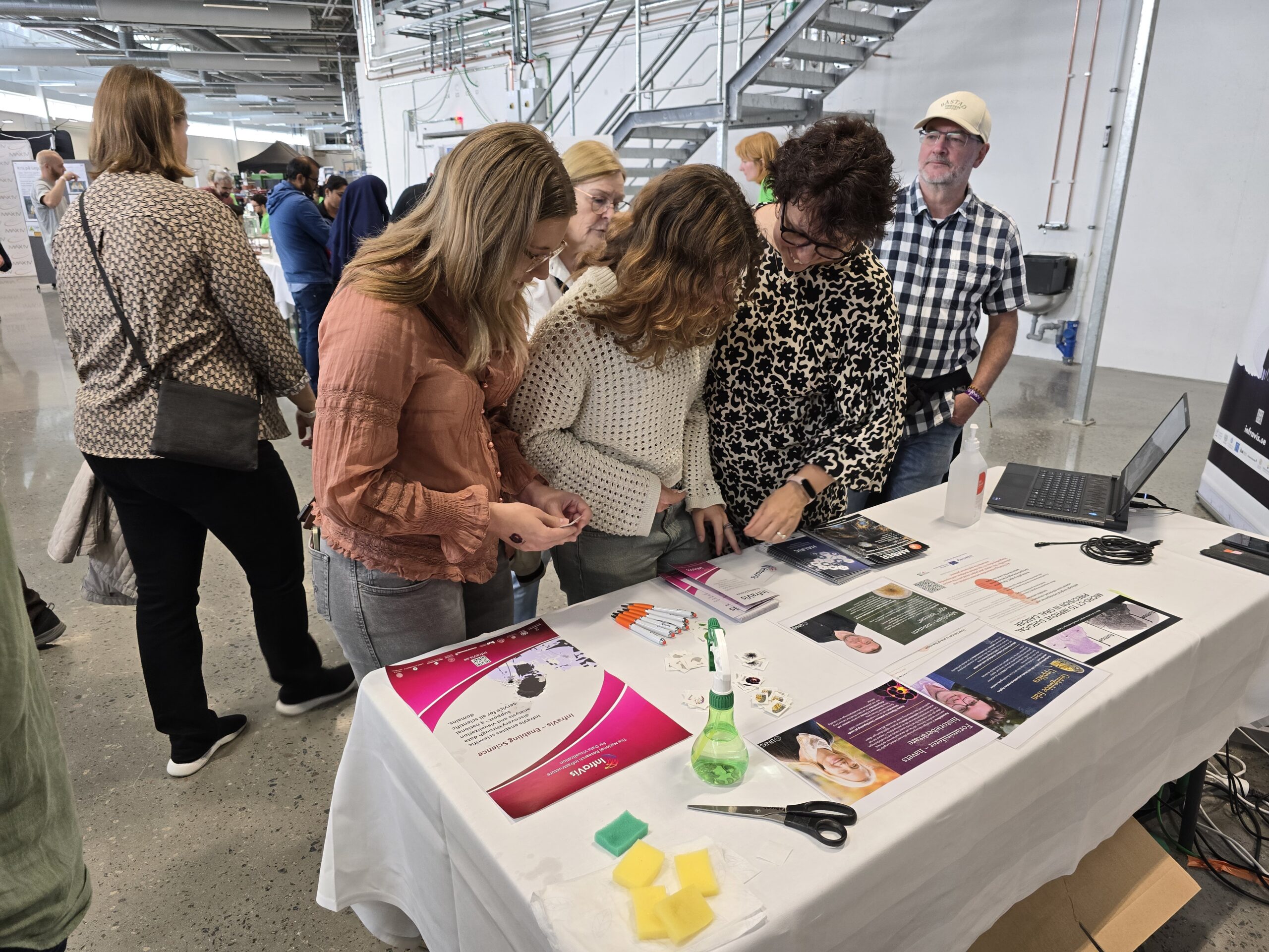
InfraVis at MAX IV Laboratory Open Day
InfraVis teamed up with LINXS Institute of advanced Neutron and X-ray Science to welcome visitors at the Open Day at MAX IV Laboratory in Lund.
-
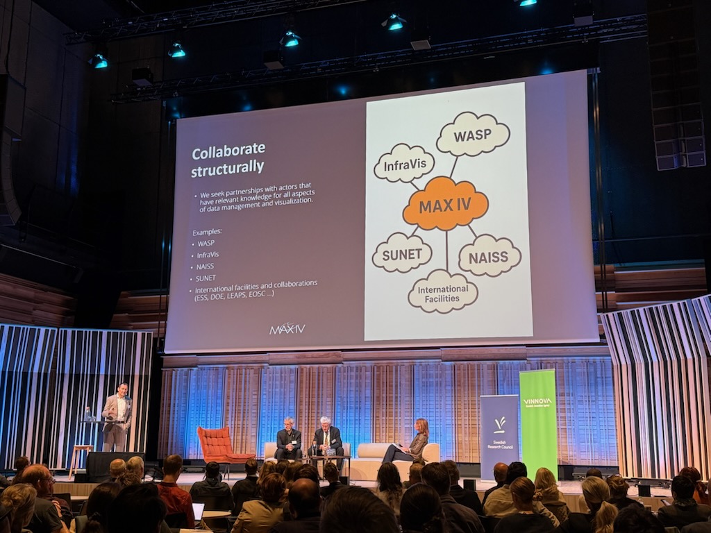
InfraVis at MAX IV Laboratory / European Spallation Source ERIC / SciLifeLab Summit
InfraVis joined the summit to highlight how Swedish national research infrastructures work for better handling, analysis and visualization of data.
-
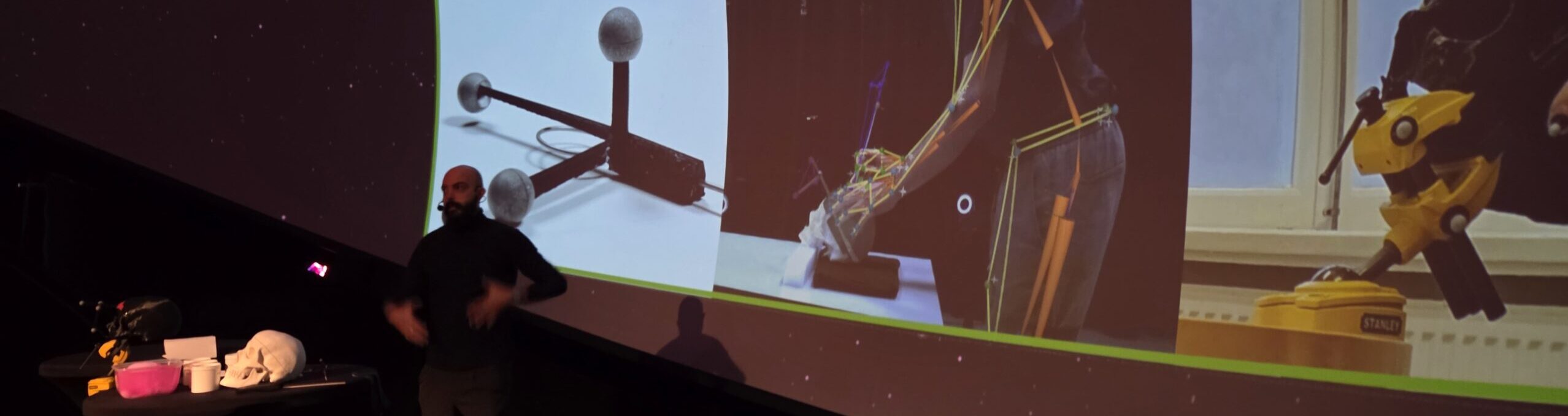
InfraVis at ForskarFredag September 2025
ForskarFredag is a one-week annual science festival held at various places around Sweden and InfraVis contributed with activities in Lund and Norrköping.
Past Trainings
-
Workshop: Visualize your research using Python
Welcome to this half day workshop 11 March that will cover the Python tools you need to visualize your research. Register here.
-

Workshop: NodeGoat
Welcome to this workshop in NodeGoat offered by InfraVis and CDHU 19 March 2026. NodeGoat is a web-based instrument designed for visualizing data from the social sciences and humanities across space and time. It enables users to map, connect, and analyze data, as well as to share research results in an interactive way.
-
InfraVis User Training Workshop: Introduction to Geographic Information Systems
GIS workshop at Uppsala University 6 November held by InfraVis application expert Vasiliki Tsoumari.
-

InfraVis User Training Workshop: Introduction to Geographic Information Systems
Welcome to a hands-on GIS workshop at Uppsala University 6 November 13.15-15. The workshop is held by InfraVis application expert Vasiliki Tsoumari.
-
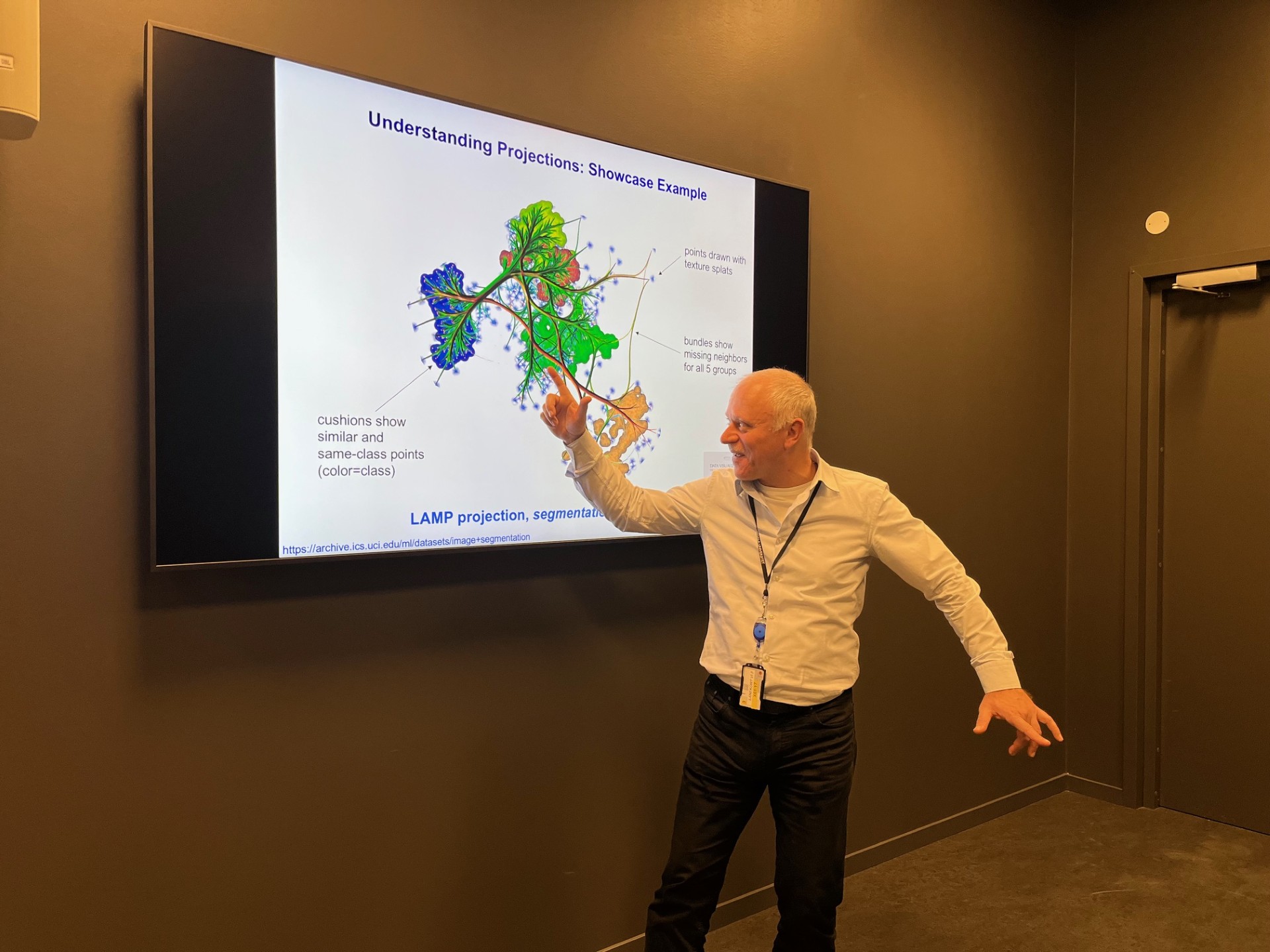
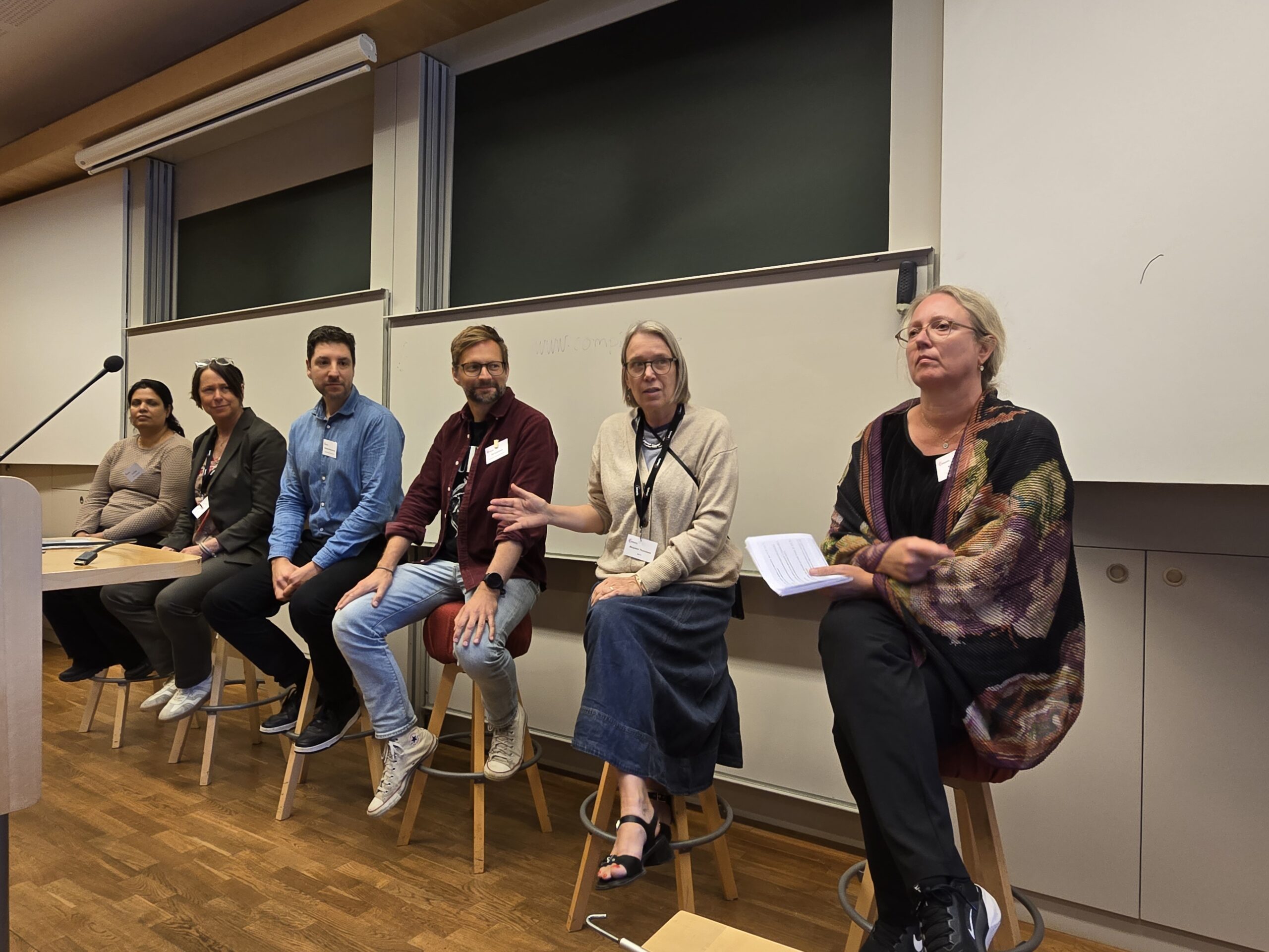
InfraVis Colloquium Recap: Tackling High-Dimensional Data Visualization
19th November Uppsala University arranged a session on Information Visualization, where the renowned professor Professor Alexandru C. Telea, Utrecht University, The Netherlands, was invited to teach.
-
QGIS: Geographic information systems for research data (Infravis Training Module)
Time: November 14, 2024; Location: CDHU Uppsala University
-
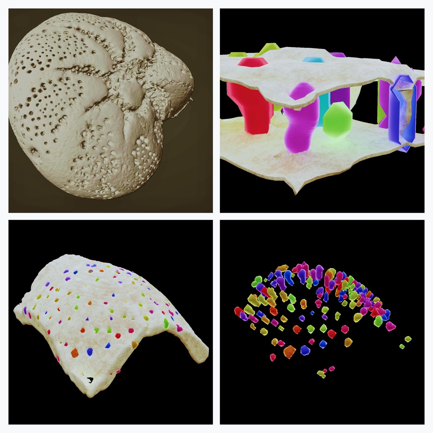
Hackathon: SynchroMage: 3D Tomography and Visualisation for Earth’s Hidden Treasures – Environment and Climate theme
Time: October 22-23, 2024; LINXS – Institute of Advanced Neutron and X-ray Science, IDEON Delta 5, Floor 5, Scheelevägen 19, 223 70 Lund, Sweden
-
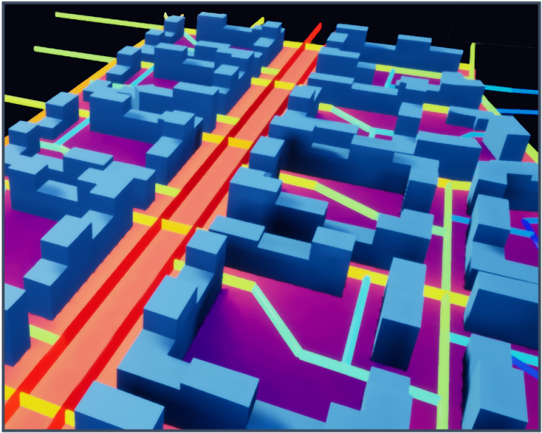
Using and enhancing the Digital Twin Cities Platform for state-of-the-art visualization on the urban scale
Time: September 21, 2023; Location: Chalmers
-

Visualizing Geographic Data
Time: 2022; Location: Uppsala University
-
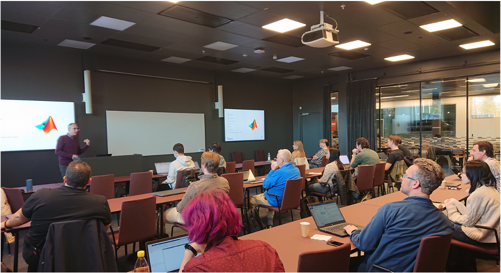
Visualizing Data of Varying Dimensions
Time: 2022; Location: Uppsala University