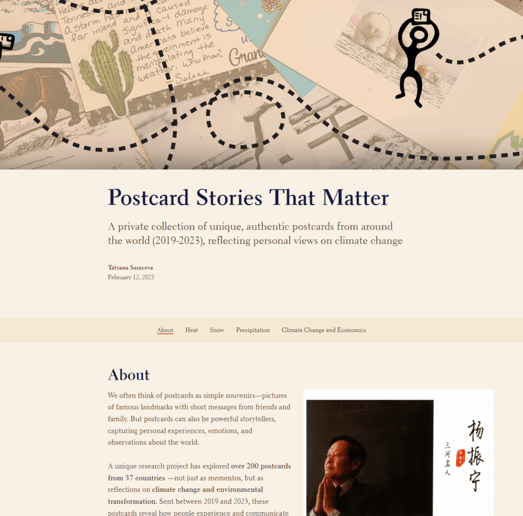
The Postcard Project
InfraVis User
Tatyana Sarayeva (UMU)
AI Policy Lab (UMU)
InfraVis Application Expert
Carl-Erik Engqvist (UMU)
Maria Podkorytova (UMU)
Vasiliki Tsoumari (UU)
InfraVis Node Coordinator
Evelina Liliequist (UMU)
Maria Podkorytova (UMU)
Tools & Skills
GIS, ArcGIS, art&science, open data, digital story, storytelling, digital humanities
Keywords
Climate change, personal experience, GIS
About
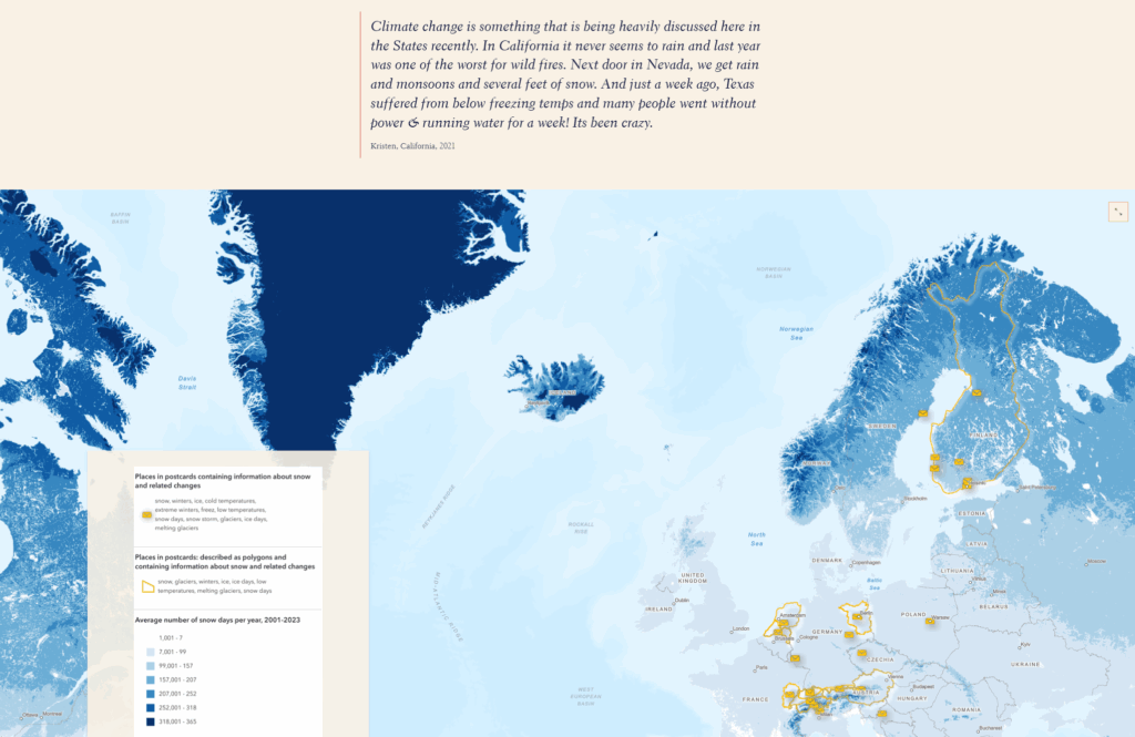
The project’s primary objective is to connect a collection of postcards about climate change with actual climate monitoring data and data about economic inequality. The project is created for a wider audience showing the correspondence between individual perceptions of climate change and measurable changes in the environment. Currently, the dataset includes only postcards in English, however the project can be extended in the future. The major result of the project can be found here: https://arcg.is/1u9vui
Project Details
The project consisted of two main areas of work: postcards and open data. The postcard component included high-resolution scanning and geocoding the data from the texts of postcards, showing which places are associated with climate change for the authors and which changes are observed there. The open data component focused on collecting climate data and GDP per capita from publicly available sources. This information was then visualized on maps and integrated with the postcard data.
In the final stage of the project, the images and texts from the postcards were brought together with the maps in an interactive StoryMap, creating a layered narrative that links personal experiences with the data of planetary scale.
The software used in the project was Open Refine, QGIS, ArcGIS Pro, ArcGIS Online and ArcGIS StoryMaps.