Reports related to garbage reported on the weekend
Interactive visualization of crowd sourced urban data from Tyck Till
InfraVis User
Vania Ceccato
InfraVis Application Expert
Julius Häger (KTH)
Filip Berendt (KTH)
InfraVis Node Coordinator
Björn Thuresson (KTH)
Tools & Skills
QGIS, Godot
Keywords
maps, GIS
Background
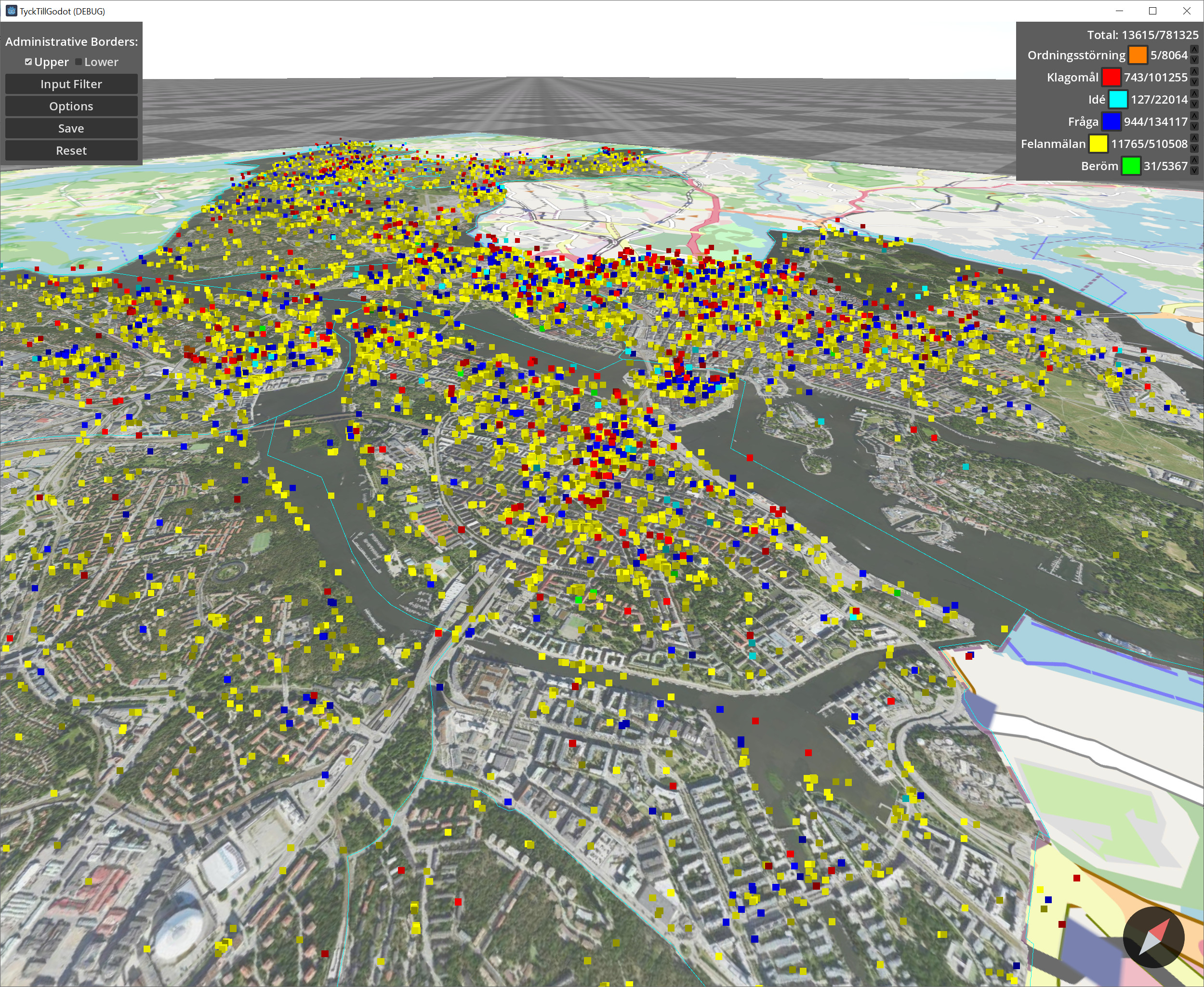
This project focused on crowd sourced urban data collected from Tyck Till, an app developed by Stockholms Stad where users can leave feedback and report errors in the city. The data contains approximately 800 000 georeferenced reports in various categories. The goal of this project was to facilitate interactive exploration of this data through filtering and navigation.
Data Preparation and Integration
The data from Stockholms Stad was enriched with district data and cleaned into a format that would be easy to load and filter.
GIS Mapping and Visualization
The data was visualized in the game engine Godot which allowed interactive rendering of these points on a map. With different categories shown in different colors. The application contains typical map navigation such as pan and zoom controls. The points are all referenced to and displayed on a map of Stockholm.
An option to display lower and upper region outlines (districts) allows the user to see the outlines of administrative borders.
Filtering is done through an expression-tree built specified by the user which is then evaluated for each point to determine its visibility. These filters can be loaded from and saved to file to allow the user to easily switch between different filters and save filters for future use. The filtering includes districts, dates, day of week, category, and a number of additional fields.
Final Outputs
The result of this work was a standalone application that is able to load the data where the user can view and filter these points to get insight into the data.
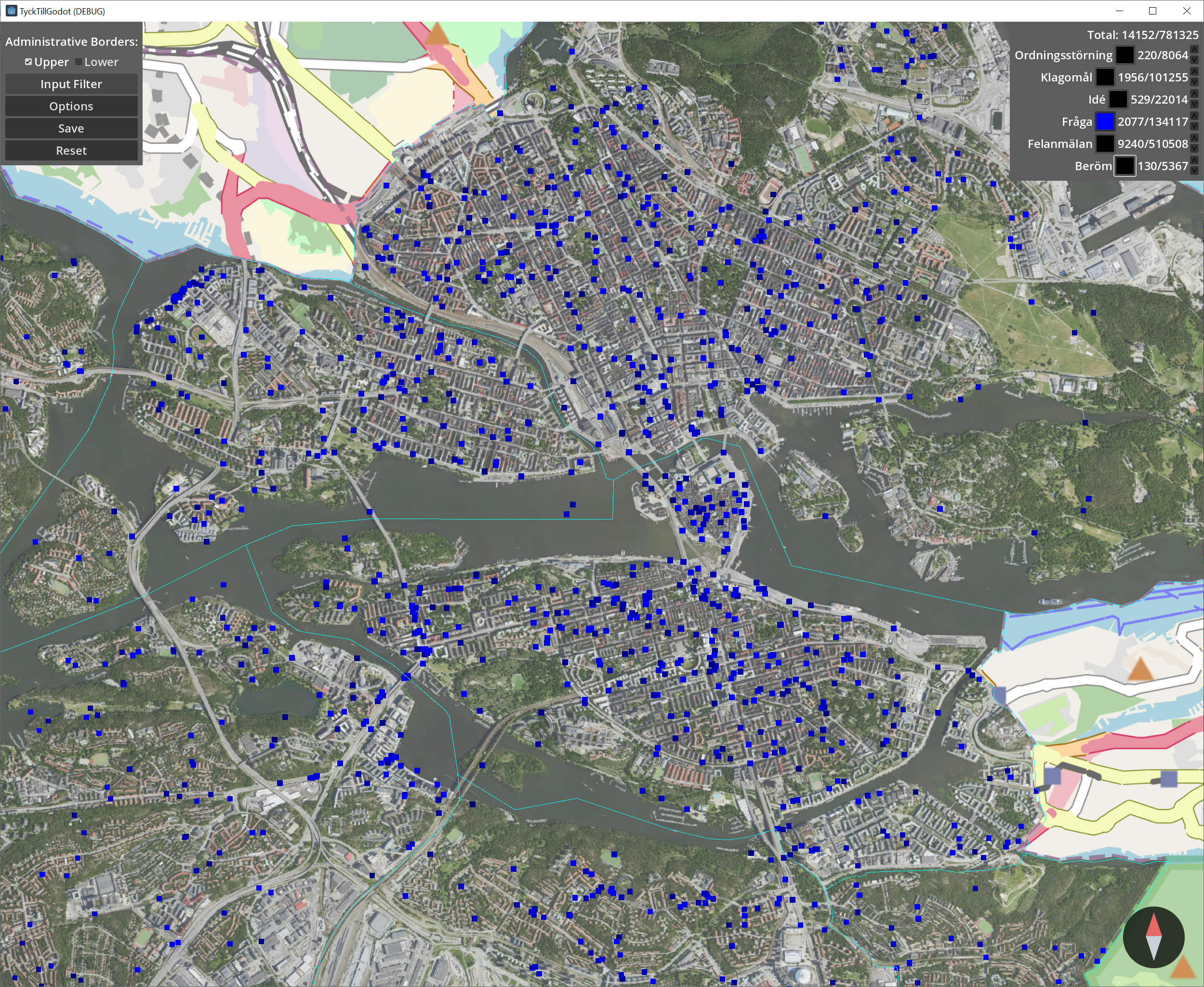
Questions asked on a Monday after 20:00